![Itineraires vélo en Vaucluse @ Rathay](https://www.provence-cycling.co.uk/app/uploads/2020/09/tous-itineraires-Rathay.jpg)
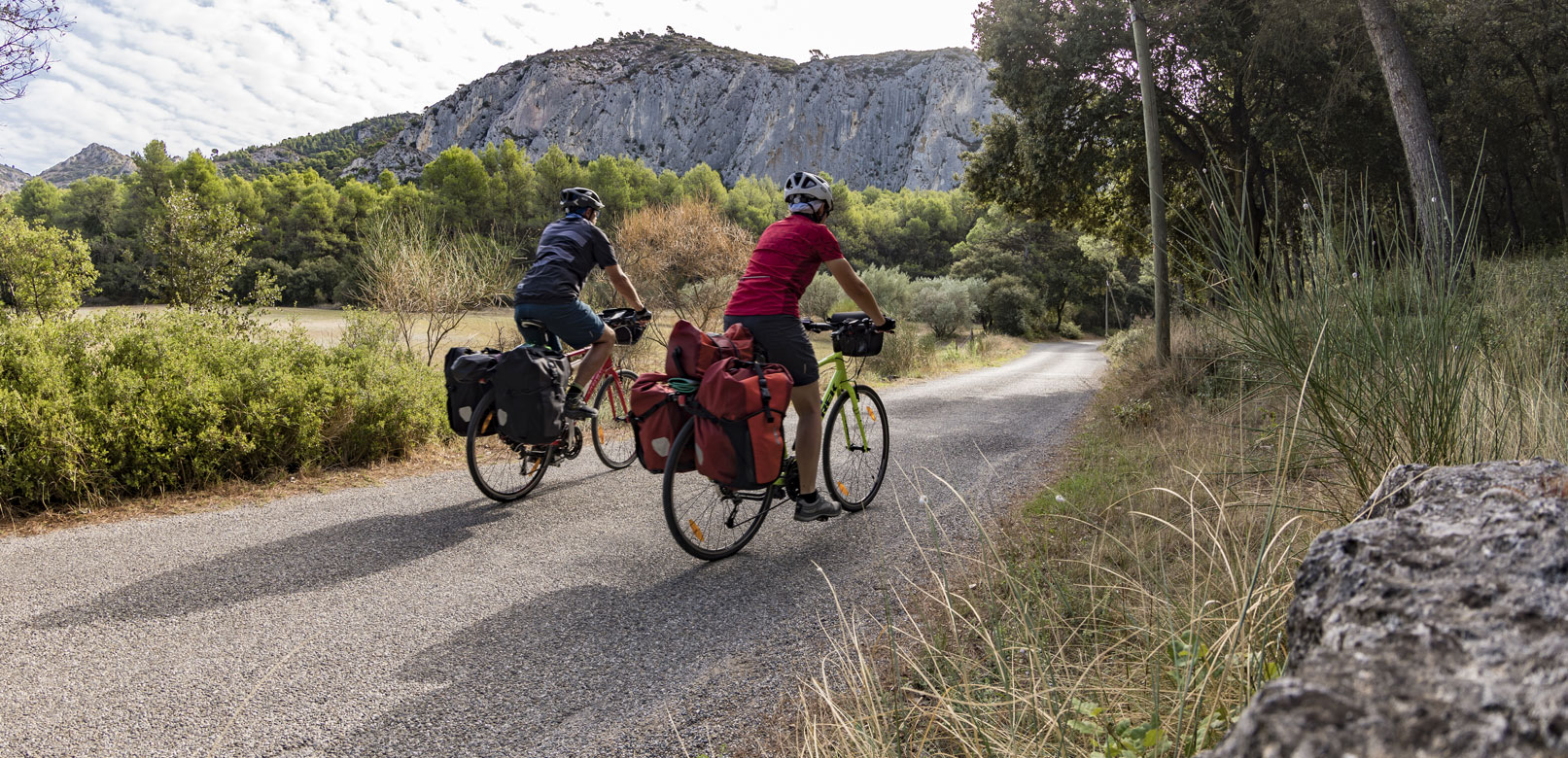
Bike rides and sporty days out in Vaucluse
Beside the Côtes du Rhône vineyards, along lavender fields, or through colourful ochre landscapes, it’s up to you to choose what and where your next bike ride will be.
To help you find your ideal route, you can also select the level of difficulty and distance of your preferred route.
Filter
sort by
44 results
![Cycling: Ascent of Mont-Ventoux from Malaucène Cycling: Ascent of Mont-Ventoux from Malaucène](http://static2.vaucluseenprovence.com/obt_img/410x410/5361862_1.jpg)
Malaucène
Cycling: Ascent of Mont-Ventoux from Malaucène
Very difficult 4h 21.1km 1574.0m
![19 - The Terraced Fields of Mont Ventoux 19 - The Terraced Fields of Mont Ventoux](http://static3.vaucluseenprovence.com/obt_img/410x410/4688372_1.jpg)
Méthamis
19 - The Terraced Fields of Mont Ventoux
Intermediary 2h 26.7km 317.0m
![24 - Between plain and piedmont 24 - Between plain and piedmont](http://static1.vaucluseenprovence.com/obt_img/410x410/4603632_1.jpg)
Caromb
24 - Between plain and piedmont
Intermediary 3h 35.4km 385.0m
![15 - Toulourenc Valley 15 - Toulourenc Valley](http://static2.vaucluseenprovence.com/obt_img/410x410/4688155_1.jpg)
Entrechaux
15 - Toulourenc Valley
![40 - Touring the Comtat Venaissin by bike 40 - Touring the Comtat Venaissin by bike](http://static3.vaucluseenprovence.com/obt_img/410x410/4604199_1.jpg)
Carpentras
40 - Touring the Comtat Venaissin by bike
Intermediary 18h 113.1km 1657.0m
![A - Ascent of Mont-Ventoux from Bédoin A - Ascent of Mont-Ventoux from Bédoin](http://static1.vaucluseenprovence.com/obt_img/410x410/5361302_1.jpg)
Bédoin
A - Ascent of Mont-Ventoux from Bédoin
Very difficult 4h 21.4km 1589.0m
![26 - Between Mont Ventoux and The Dentelles 26 - Between Mont Ventoux and The Dentelles](http://static2.vaucluseenprovence.com/obt_img/410x410/4688341_1.jpg)
Malaucène
26 - Between Mont Ventoux and The Dentelles
Difficult 0h 28.7km 715.0m
![18 - Gateway to Mont Ventoux 18 - Gateway to Mont Ventoux](http://static3.vaucluseenprovence.com/obt_img/410x410/4688112_1.jpg)
Bédoin
18 - Gateway to Mont Ventoux
Intermediary 2h 22.3km 366.0m
![35 - Glide alongside the banks of Sorgue 35 - Glide alongside the banks of Sorgue](http://static1.vaucluseenprovence.com/obt_img/410x410/4610937_1.jpg)
Le Thor
35 - Glide alongside the banks of Sorgue
Easy 2h12 24.0km 39.0m
![9 - The Plan de Dieu vineyards between Aygues and Ouvèze 9 - The Plan de Dieu vineyards between Aygues and Ouvèze](http://static2.vaucluseenprovence.com/obt_img/410x410/4618917_1.jpg)
Sainte-Cécile-les-Vignes
9 - The Plan de Dieu vineyards between Aygues and Ouvèze
Easy 3h 27.6km 141.0m
![Cycle route: From the stone to the pebbly terroir Cycle route: From the stone to the pebbly terroir](http://static3.vaucluseenprovence.com/obt_img/410x410/713016_1.jpg)
Orange
Cycle route: From the stone to the pebbly terroir
Difficult 3h 35.0km 0.0m
![Cycling: Ascent of Mont-Ventoux from Sault Cycling: Ascent of Mont-Ventoux from Sault](http://static1.vaucluseenprovence.com/obt_img/410x410/5362235_1.jpg)
Sault
Cycling: Ascent of Mont-Ventoux from Sault
Very difficult 3h 25.4km 1221.0m