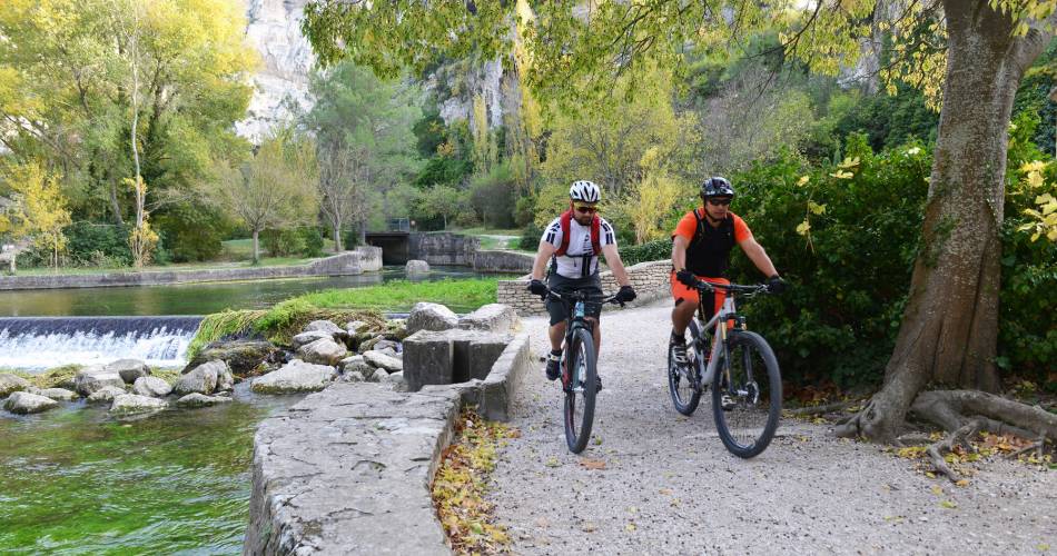
Long Distance Mountain Bike Trail, Stage 6 - From Fontaine-de-Vaucluse to Mérindol

Route
Difficulty
Difficult
Duration
7h
Distance
45.82km
Positive elevation
0 meters
Negative elevation
0 meters
Altitude
Min. 0 meters
Max. 0 meters
- circuit
- variante
- voie verte
- liaison
The tourist service at Fontaine-de-Vaucluse :
This short stretch, that joins the Petit Luberon mountain range, is full of interesting features - offering riders a varied and rural itinerary.
Cross the river Sorgue towards Lagnes, then climb the chalky hills at the extreme west of the Vaucluse mountains, passing the bleak mur de la peste (plague wall). Cycle, in single file, down to the plain towards Coustellet, past the Musée de la lavande. Then take the Euro-Véloroute n°8 La Méditerranée bike path (or Calavon greenway – sign EV8) towards Robion, through farmland crisscrossed by hedges and trees.
Once you reach the Théâtre de Verdure in the centre of the old village of Robion, at the foot of the massif, you’ll see signs for the Grande Traversée (Long Distance Trail). Follow the fun, single-track path until you reach the Carpentras Canal where you’ll begin your assault on the southern slopes of the Petit Luberon. Vast expanses of fragrant scrub, interspersed with spectacular valleys, will punctuate your journey as you head towards the old village of Mérindol.
Once you reach the Théâtre de Verdure in the centre of the old village of Robion, at the foot of the massif, you’ll see signs for the Grande Traversée (Long Distance Trail). Follow the fun, single-track path until you reach the Carpentras Canal where you’ll begin your assault on the southern slopes of the Petit Luberon. Vast expanses of fragrant scrub, interspersed with spectacular valleys, will punctuate your journey as you head towards the old village of Mérindol.
To be noted
 If you notice a problem on one of the Provence cycling routes report it with the Suricate app!: sentinelles.sportsdenature.fr
Access to the massifs
Respect the regulations preserving protected natural areas – find out about restrictions to accessing the massifs during fire risk periods, from 15 June to 15 September.
Before heading out, check the website
Respect the regulations preserving protected natural areas – find out about restrictions to accessing the massifs during fire risk periods, from 15 June to 15 September.
Before heading out, check the website
In short
Contact
Vélo Loisir ProvenceE-Mail : info@veloloisirprovence.com
Website : https://www.veloloisirprovence.com
Facebook : https://www.facebook.com/veloloisirprovence/
