
VTT Transcomtat

Route
Difficulty
Intermediary
Duration
h
Distance
49.46km
Positive elevation
1315 meters
Negative elevation
1 meters
Altitude
Min. 184 meters
Max. 626 meters
- circuit
- variante
- voie verte
- liaison
Departure / Arrival
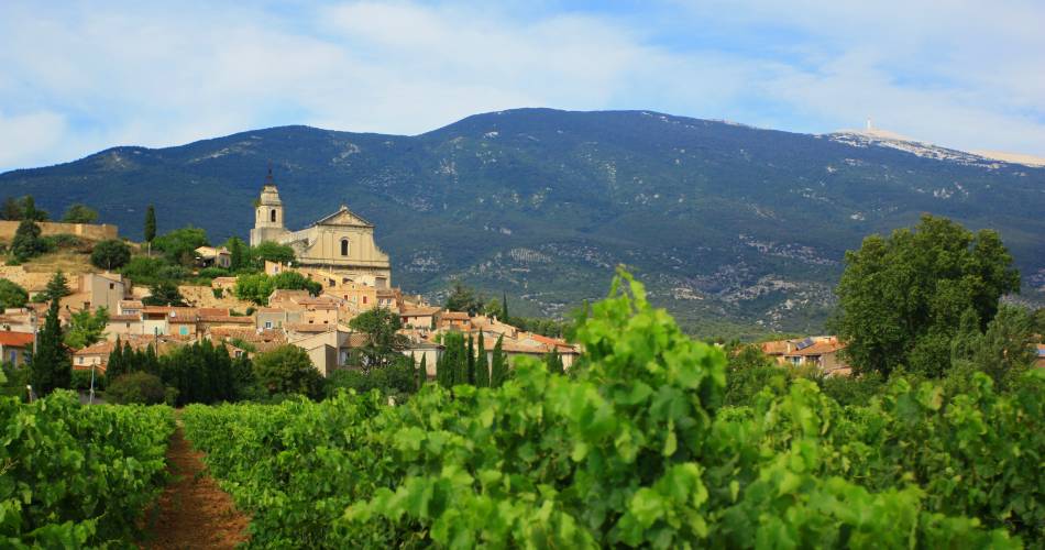
Bedoin / Bédoin
Parking
Bédoin
Elevation
The tourist service at Bédoin :
360° landscapes between Ventoux, Lure and Luberon, lavender fields and oak forests
This intermediate-level route is aimed at people who are experienced mountain bikers. The start of the route is flat but the circuit becomes tougher as it goes on. Your efforts will be rewarded by the beauty of the panoramic views of Ventoux and the Albion plateau. Stay alert during the descent that brings you back to the village.
To be noted
 If you notice a problem on one of the Provence cycling routes report it with the Suricate app!: sentinelles.sportsdenature.fr
Access to the massifs
Respect the regulations preserving protected natural areas – find out about restrictions to accessing the massifs during fire risk periods, from 15 June to 15 September.
Before heading out, check the website
Respect the regulations preserving protected natural areas – find out about restrictions to accessing the massifs during fire risk periods, from 15 June to 15 September.
Before heading out, check the website