
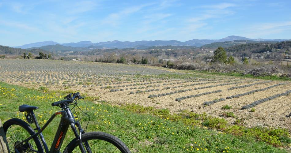
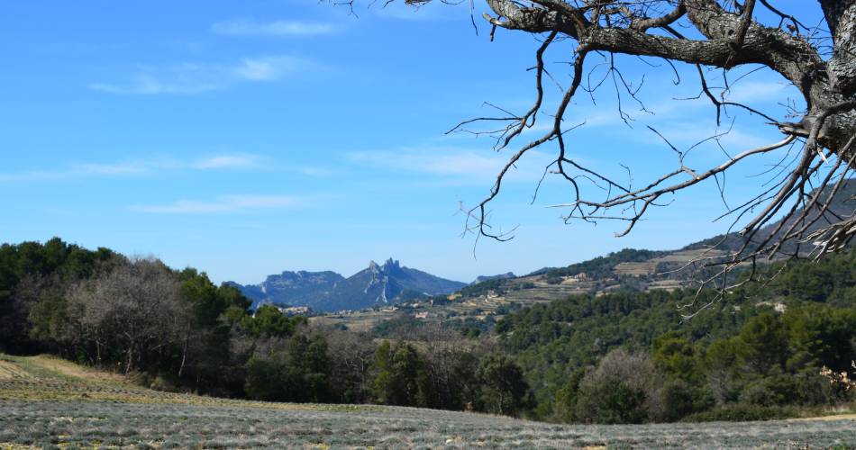
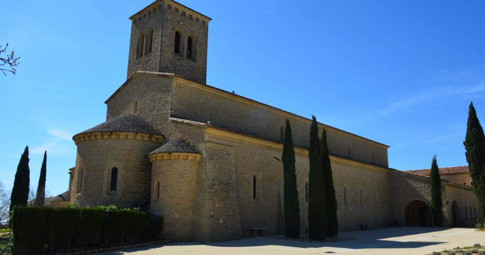
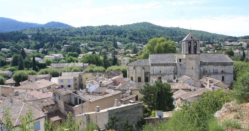
VTT n°19 - Le tour des Abbayes
19
Route
Difficulty
Easy
Duration
2h30
Distance
17.23km
Positive elevation
416 meters
Negative elevation
415 meters
Altitude
Min. 284 meters
Max. 478 meters
- circuit
- variante
- voie verte
- liaison
The tourist service at Malaucène :
To be noted
 If you notice a problem on one of the Provence cycling routes report it with the Suricate app!: sentinelles.sportsdenature.fr
Access to the massifs
Respect the regulations preserving protected natural areas – find out about restrictions to accessing the massifs during fire risk periods, from 15 June to 15 September.
Before heading out, check the website
Respect the regulations preserving protected natural areas – find out about restrictions to accessing the massifs during fire risk periods, from 15 June to 15 September.
Before heading out, check the website