
MTB trail - no. 4 - Tour of Pays de Sault - GPS
GPS 4
Route
Difficulty
Very difficult
Duration
3h
Distance
36.14km
Positive elevation
0 meters
Negative elevation
0 meters
Altitude
Min. 0 meters
Max. 0 meters
- circuit
- variante
- voie verte
- liaison
Departure / Arrival
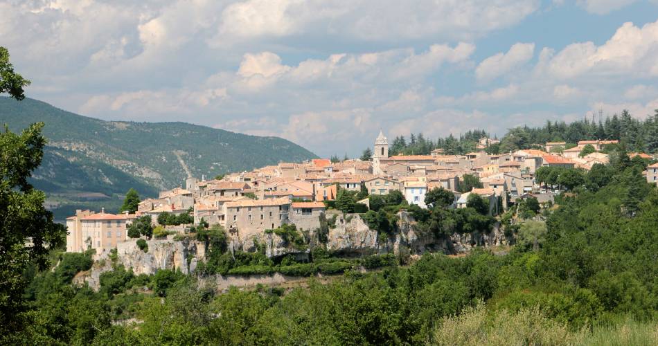
Sault / Sault
Parking
Sault
Elevation
Downloads
Flyer Grande Traversée VTT de Vaucluse
GPX track
The tourist service at Sault :
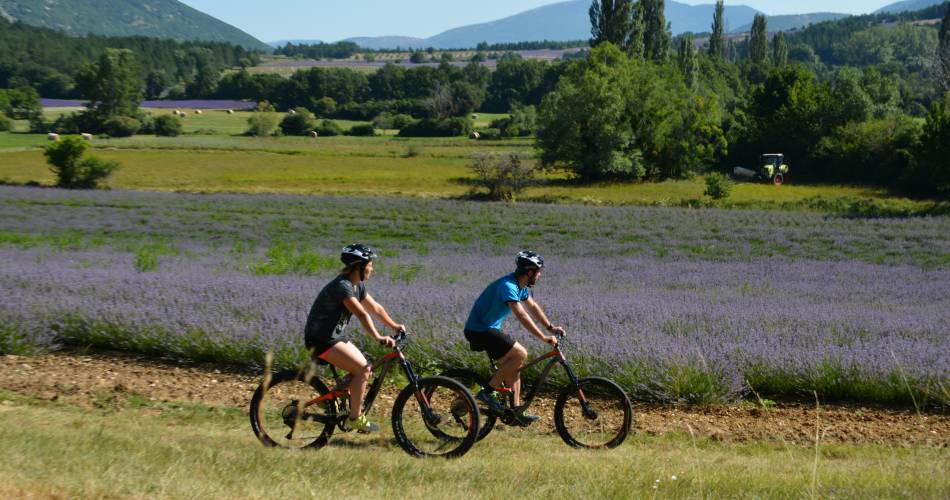
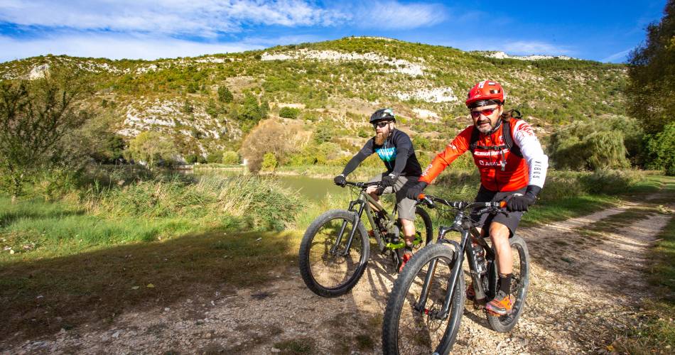
Departing from Sault, this tour, reserved for experience cyclists, takes you on a spectacular route through this unspoilt region.
Hopefully the scenic beauty of the Gorges de la Nesque won't distract you from the technically difficult sections along the itinerary. Further on, rocky valleys and combe beds are an incredible contrast to the vast Albion plateau and its colourful lavender and einkorn wheat crops.
Accéder à l'itinéraire
public transport
Trans'CoVe bus networkConsult the Zou bus networkConsult the TER lines towards Carpentras
recommended
parking(s)
Parking on Chemin des Amandiers (P4) or Place des Aires in Sault
To be noted
GPS necessary. The route is not signposted.
This MTB track is best suited to autumn and spring.
This MTB track is best suited to autumn and spring.
Make sure to check restricted access to the massif the day before your trip, in case of fire risk
T. +33(0)4.28.31.77.11
In case of fire, call 18 or 112
 If you notice a problem on one of the Provence cycling routes report it with the Suricate app!: sentinelles.sportsdenature.fr
Access to the massifs
Respect the regulations preserving protected natural areas – find out about restrictions to accessing the massifs during fire risk periods, from 15 June to 15 September.
Before heading out, check the website
Respect the regulations preserving protected natural areas – find out about restrictions to accessing the massifs during fire risk periods, from 15 June to 15 September.
Before heading out, check the website
In short
A spectacular itinerary between the Gorges de la Nesque and lavender fields.Downloads