
Electric Mountain bike route no.5: Grand tour of Mont Ventoux GPS

Route
Difficulty
Difficult
Duration
48h
Distance
145.44km
Positive elevation
4350 meters
Negative elevation
4 meters
Altitude
Min. 145 meters
Max. 1526 meters
- circuit
- variante
- voie verte
- liaison
Departure / Arrival
Malaucène / Malaucène
Parking
Malaucène
Elevation
Downloads
Flyer Grande Traversée VTT de Vaucluse
GPX track
The tourist service at Savoillans :
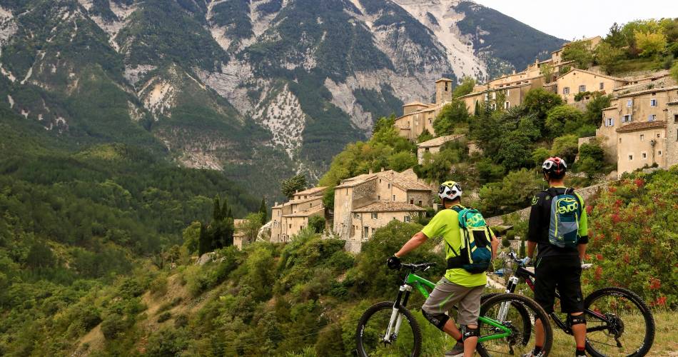
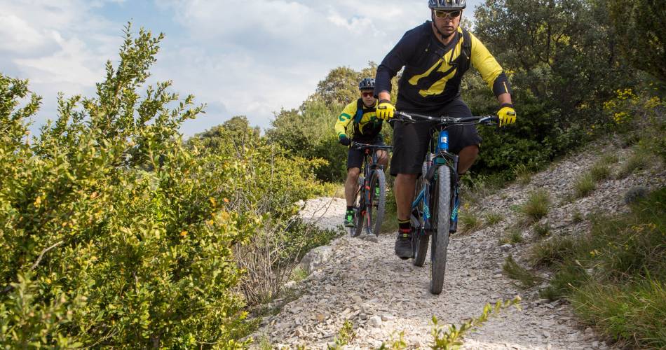
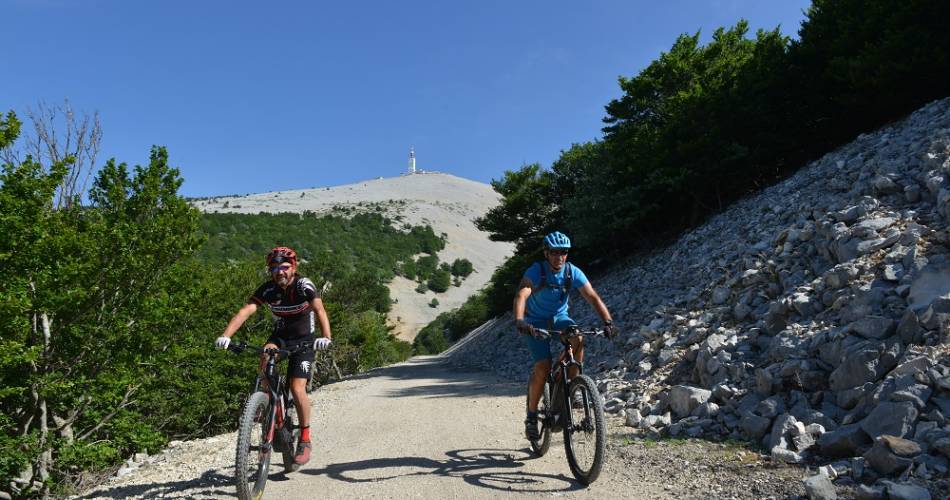
The Giant of Provence Electric Mountain Bike Trail is a spectacular and legendary route but one that is very demanding in terms of both difficulty and technical expertise.
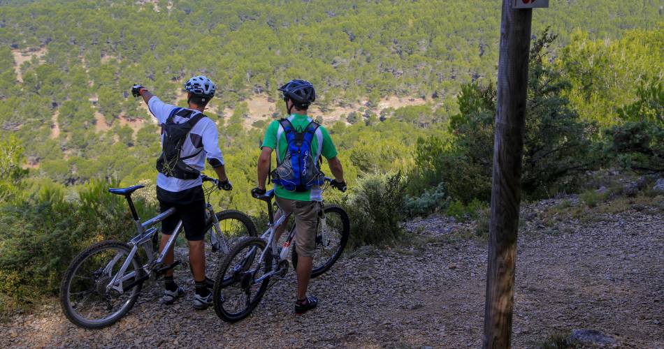
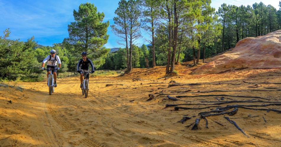
Starting from Malaucène, the route sets off to discover the famous limestone ridges of the Dentelles de Montmirail, amidst rocky laminae, pine forests, vineyards and hilltop villages. The route then continues along the southern slopes of the Giant of Provence, with its breathtaking panoramic views and Alpine atmosphere. The fast or testing paths are always the best. The itinerary then takes you across the Sault plateau and the Toulourenc Valley.
To be noted
 If you notice a problem on one of the Provence cycling routes report it with the Suricate app!: sentinelles.sportsdenature.fr
Access to the massifs
Respect the regulations preserving protected natural areas – find out about restrictions to accessing the massifs during fire risk periods, from 15 June to 15 September.
Before heading out, check the website
Respect the regulations preserving protected natural areas – find out about restrictions to accessing the massifs during fire risk periods, from 15 June to 15 September.
Before heading out, check the website
In short
Downloads
Contact
Conseil départemental de Vaucluse - Maison des SportsMobile : Show number 06 98 24 07 07
E-Mail : contact@egobike-montventoux.com
Website : http://www.ventouxprovence.com