
Saint-Didier, Venasque, Le Beaucet, La Roque-Sur-Pernes
25 - Hilltop Villages
25
Route
Loop
Difficulty
Difficult
Duration
2h30
Distance
19.53km
Positive elevation
421 meters
Negative elevation
421 meters
Altitude
Min. 145 meters
Max. 320 meters
- circuit
- variante
- voie verte
- liaison
Departure / Arrival
Saint-Didier / Saint-Didier
Parking
Saint-Didier
Elevation
Downloads
Autour de Carpentras et Pernes-les-Fontaines
GPX track
The tourist service at Saint-Didier :
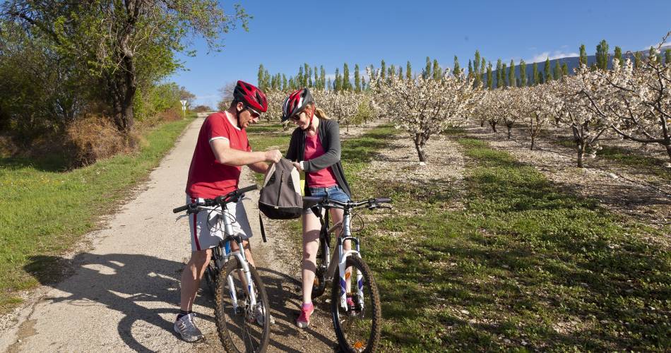
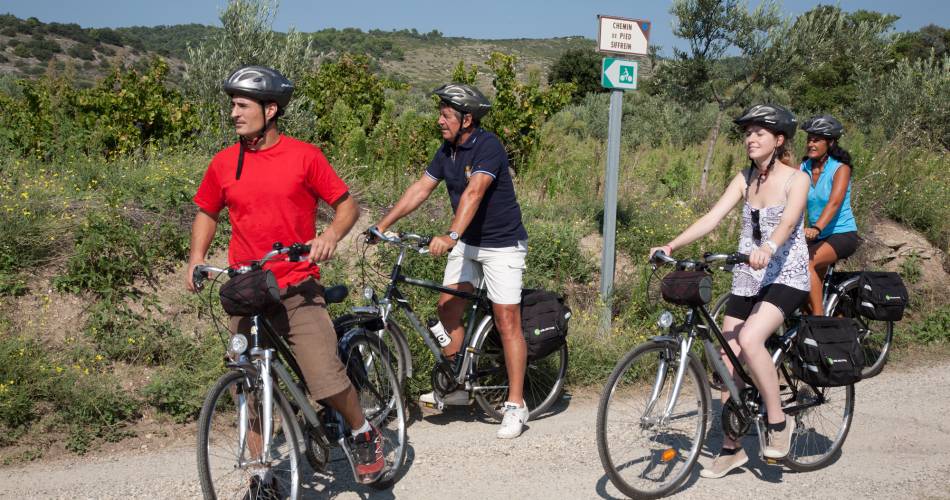
In leaving Saint Didier, you will need a bit of energy to push yourself at your own pace towards the beautiful perched villages of the Vaucluse hills.
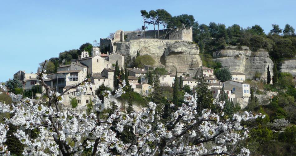
Once you reach these rocky headlands - as a well-deserved reward - you will be able to see some magnificent panoramas of the Ventoux and various agricultural landscapes: vineyards, cherry trees on the Venasque hills, almond trees etc.
Itinerary created by 'Communauté d'agglomération Ventoux Comtat Venaissin'
www.destination-ventoux.com
Itinerary created by 'Communauté d'agglomération Ventoux Comtat Venaissin'
www.destination-ventoux.com
Accéder à l'itinéraire
public transport
By train to CarpentrasBy bus from Carpentras on line N of the TransCove network (Nougaterie stop)
recommended
parking(s)
Post Office Car Park
road access
From Carpentras city centre, follow the D4 then the D39 towards Saint-Didier.
To be noted
- Point 1: caution when travelling downhill, especially in wet weather.
- The course is hilly and quite athletic.
- To make the most of the views and the charm of the villages you cross, opt for electric bikes.
- Avoid hot days.
 If you notice a problem on one of the Provence cycling routes report it with the Suricate app!: sentinelles.sportsdenature.fr
Access to the massifs
Respect the regulations preserving protected natural areas – find out about restrictions to accessing the massifs during fire risk periods, from 15 June to 15 September.
Before heading out, check the website
Respect the regulations preserving protected natural areas – find out about restrictions to accessing the massifs during fire risk periods, from 15 June to 15 September.
Before heading out, check the website
In short
- The Monts de Vaucluse and the breathtaking views over Mont Ventoux
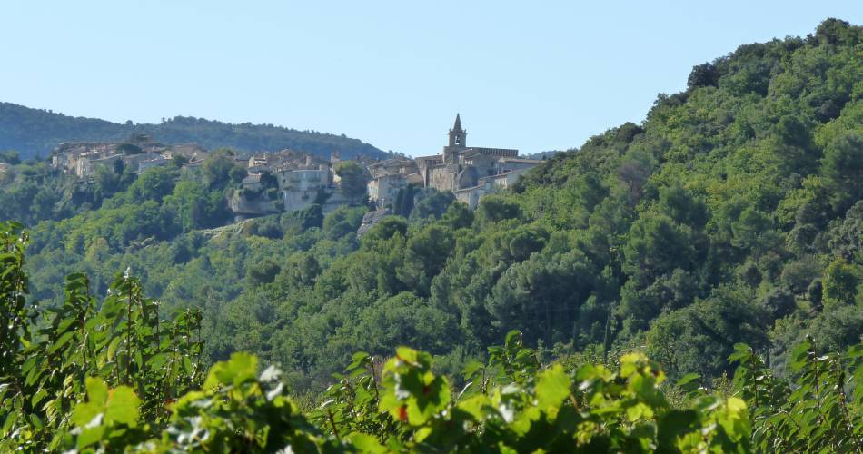
- Venasque, one of the "Most Beautiful Villages of France®" : Romanesque church, fountains, towers
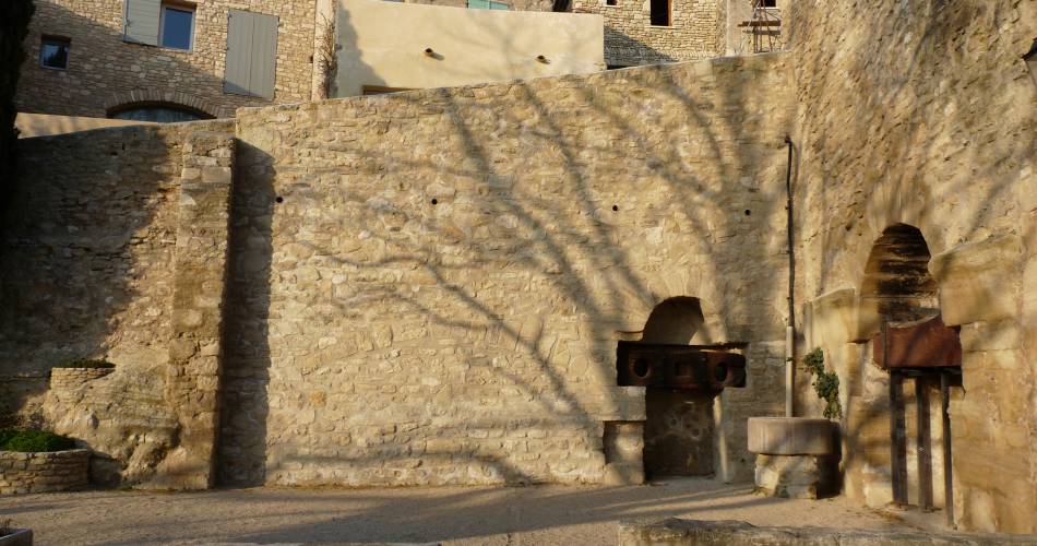
- Le Beaucet and the château-fort with its ancient doors, Provençal wash house
- The old village of La-Roque-sur-Pernes
Contact
sevice patrimoine & culture de la CoveE-Mail : carpentras@ventouxprovence.fr
Website : https://www.provence-a-velo.fr/equipements/mont-ventoux/25-les-villages-perches/provence-4692942-1.html