
22 - through the Comtat
22
Route
Difficulty
Intermediary
Duration
3h
Distance
34.99km
Positive elevation
309 meters
Negative elevation
308 meters
Altitude
Min. 75 meters
Max. 203 meters
- circuit
- variante
- voie verte
- liaison
Departure / Arrival
Carpentras / Carpentras
Parking
Carpentras
Elevation
Downloads
Autour de Carpentras et Pernesl-les-Fontaines
GPX track
The tourist service at Carpentras :
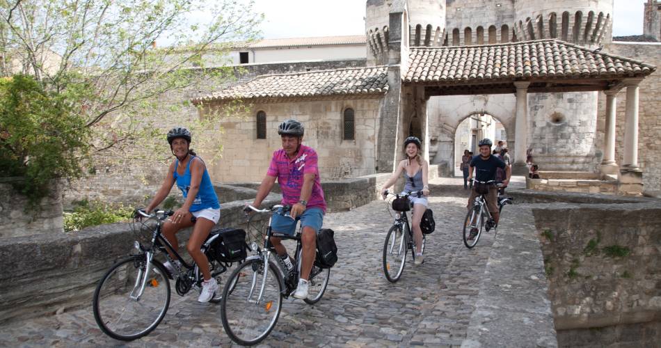
This itinerary leads you through the Comtat Plain and its varied agricultural landscapes: strawberries, asparagus, vines…
Not forgetting a short visit to the historic cities of the Comtat Venaissin - Pernes-les-Fontaines and Carpentras - where cyclists can discover unmissable historical monuments in the area such as a synagogue, gates, chapels, private mansions etc. Itinerary created by 'Communauté d'agglomération Ventoux Comtat Venaissin' www.destination-ventoux.com
Accéder à l'itinéraire
public transport
By train from Avignon, Isle-sur-la-Sorgue, Cavaillon or Orange
recommended
parking(s)
Car park "Coulée Verte"
road access
Via the D942 from AvignonVia the D950 from OrangeVia the D938 from Cavaillon and Isle-sur-la-Sorgue
To be noted
- Points 1 and 2 : crowded road, be very careful
 If you notice a problem on one of the Provence cycling routes report it with the Suricate app!: sentinelles.sportsdenature.fr
Access to the massifs
Respect the regulations preserving protected natural areas – find out about restrictions to accessing the massifs during fire risk periods, from 15 June to 15 September.
Before heading out, check the website
Respect the regulations preserving protected natural areas – find out about restrictions to accessing the massifs during fire risk periods, from 15 June to 15 September.
Before heading out, check the website
In short
- Small roads and country lanes
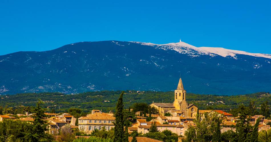
- The viticultural and agricultural landscapes in the Comtat Venaissin
- The architectural heritage and historical town centres in Carpentras and Pernes-les-Fontaines
Contact
sevice patrimoine & culture de la CoveE-Mail : carpentras@ventouxprovence.fr
Website : https://www.provence-a-velo.fr/equipements/mont-ventoux/22-au-fil-du-comtat/provence-4604196-1.html