
MTB trail n° 53 - Travignon by the Cluyer
53
Route
Difficulty
Very difficult
Duration
4h
Distance
27.54km
Positive elevation
1268 meters
Negative elevation
1 meters
Altitude
Min. 359 meters
Max. 1052 meters
- circuit
- variante
- voie verte
- liaison
Departure / Arrival
Parking de la piscine - Saint Saturnin les Apt / Parking de la piscine - Saint Saturnin les Apt
Parking
Parking de la piscine - Saint Saturnin les Apt
Elevation
GPX track
The tourist service at Saint-Saturnin-lès-Apt :
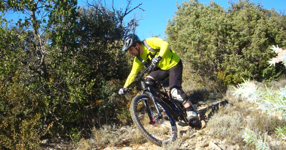
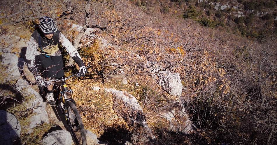
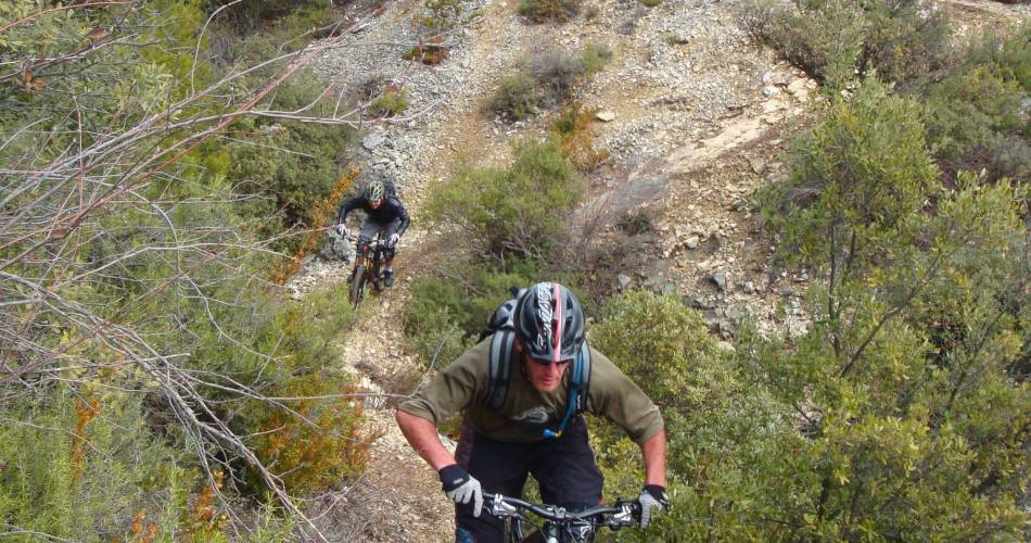
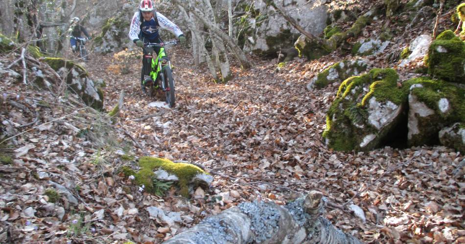
A superb but technically demanding and strenuous itinerary. Combines some of the most beautiful descents of the St-Saturnin-lès-Apt area and Pays des Aiguiers and is a popular spot for local mountain-bikers especially in winter or after heavy rain.
Here what matters is precision steering, powerful pedalling and cycling endurance! Breathtaking views, rural heritage and a magnificent hilltop village are some of the incredible sights en route. Sheer joy!
Important: watch your speed on the descent – you might not be the only one on the trail!
Important: watch your speed on the descent – you might not be the only one on the trail!
To be noted
 If you notice a problem on one of the Provence cycling routes report it with the Suricate app!: sentinelles.sportsdenature.fr
Access to the massifs
Respect the regulations preserving protected natural areas – find out about restrictions to accessing the massifs during fire risk periods, from 15 June to 15 September.
Before heading out, check the website
Respect the regulations preserving protected natural areas – find out about restrictions to accessing the massifs during fire risk periods, from 15 June to 15 September.
Before heading out, check the website
In short