
Viens, Caseneuve, Gignac
MTB N° 55 - Travers de Pierroux
55
Route
Loop
Difficulty
Very easy
Duration
1h
Distance
12.33km
Positive elevation
321 meters
Negative elevation
320 meters
Altitude
Min. 490 meters
Max. 681 meters
- circuit
- variante
- voie verte
- liaison
Departure / Arrival
Mairie - Viens / Mairie - Viens
Parking
Mairie - Viens
Elevation
GPX track
The tourist service at Viens :
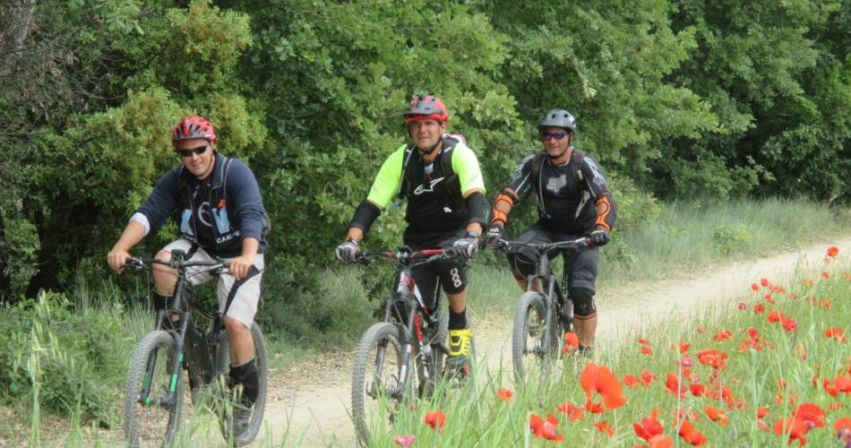
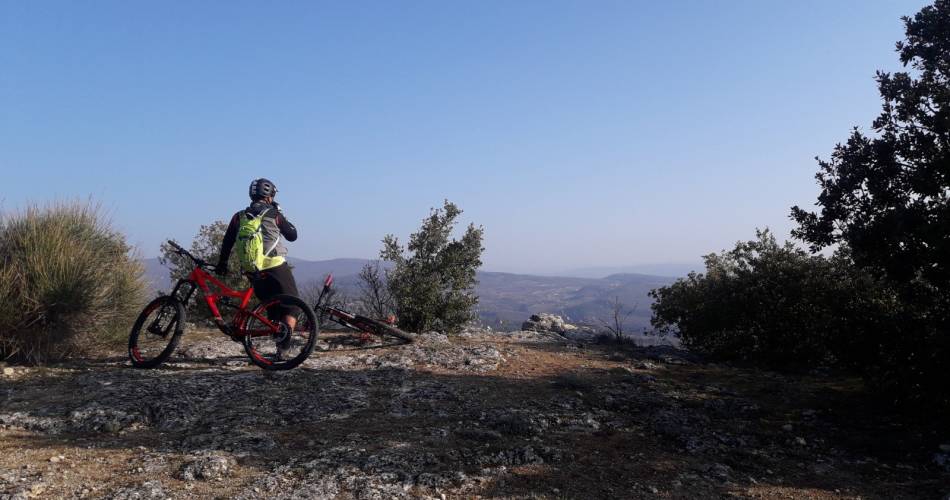
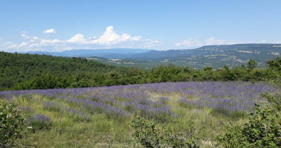
A short mountain bike loop with no technical difficulty, starting in the hilltop village of Viens. A sequence of tracks switching from undergrowth to fields, dotted with beautiful views of the Luberon in the south, Mont-de-Vaucluse in the north and Montagne de Lure in the east.
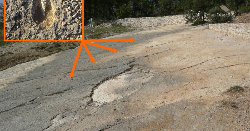
On the way back, keep your eyes peeled for the dalle calcaire further along the trail (8.9 km), a slab of limestone whose surface is covered in over 200 footprints of mammals that inhabited the region 30 million years ago!
Important:
• Beware the livestock guardian dogs in the vicinity of a nearby farm (1.1 km).
• The footprint-covered limestone is a protected site and extremely fragile: bikes are strictly prohibited on the surface.
Important:
• Beware the livestock guardian dogs in the vicinity of a nearby farm (1.1 km).
• The footprint-covered limestone is a protected site and extremely fragile: bikes are strictly prohibited on the surface.
Accéder à l'itinéraire
public transport
recommended
parking(s)
In front of the City Hall
To be noted
Caution
• presence of livestock guardian dogs near the farm (km 1.1).
• The "Dalle à empreintes" is a classified site and is very fragile: it is strictly forbidden to ride here.
 If you notice a problem on one of the Provence cycling routes report it with the Suricate app!: sentinelles.sportsdenature.fr
Access to the massifs
Respect the regulations preserving protected natural areas – find out about restrictions to accessing the massifs during fire risk periods, from 15 June to 15 September.
Before heading out, check the website
Respect the regulations preserving protected natural areas – find out about restrictions to accessing the massifs during fire risk periods, from 15 June to 15 September.
Before heading out, check the website
In short
- A hilly route between woods and crop fields, offering beautiful views of the Luberon, the Mont-de-Vaucluse and the Lure Mountain
- At 8.9km, an old limestone slab more than 30 million years old still shows traces of ancient mammals.
Contact
Parc naturel régional du LuberonE-Mail : info@veloloisirprovence.com
Website : https://www.visugpx.com/17gN2Wf8Jp
Facebook : https://www.facebook.com/groups/931761307346545