
Stage 7: Bonnieux/Mérindol Long Distance Mountain Bike Trail e-bike

Route
Difficulty
Duration
h
Distance
0.07km
Positive elevation
meters
Negative elevation
0 meters
Altitude
Min. meters
Max. meters
The tourist service at Bonnieux :
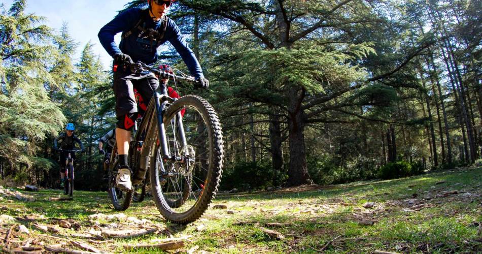
This is the longest stage of the Traversée de Vaucluse, which takes you from the cedar forest of Bonnieux in the direction of Petit Luberon. Enjoy the panoramic views of the hilltop villages of the Luberon, the Calavon plain, and the Monts de Vaucluse before a technical section in South-Luberon.
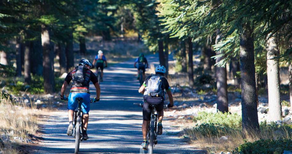
A long but magnificent stage. You leave the massif behind to climb up the slopes of the Petit Luberon before a steep descent.
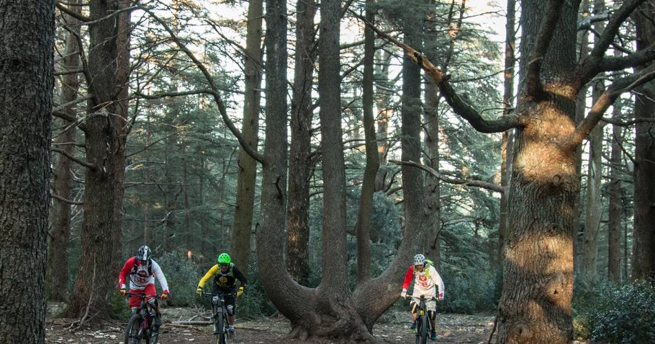
Next comes the ascent of the southern face of the Petit Luberon (alt. 690 m) following both paths and tracks, to reach the grandiose panorama of the valley of the Durance, the Crau and the Alpilles. You then travel through the Cedar Forest and its majestic hundred-year-old trees to travel through a technical valley bottom to the foot of the Ubac.
Once through the piedmont plain, you reach Oppède-le-Vieux, then Maubec, Robion and Les Taillades, villages steeped in history. From here, you continue towards the slopes of the Petit Luberon. One last climb on nice path plunges you into Vieux Mérindol.
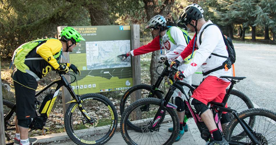
To be noted
 If you notice a problem on one of the Provence cycling routes report it with the Suricate app!: sentinelles.sportsdenature.fr
Access to the massifs
Respect the regulations preserving protected natural areas – find out about restrictions to accessing the massifs during fire risk periods, from 15 June to 15 September.
Before heading out, check the website
Respect the regulations preserving protected natural areas – find out about restrictions to accessing the massifs during fire risk periods, from 15 June to 15 September.
Before heading out, check the website