
Mondragon, Bollene, Mornas, Piolenc, Uchaux, Rochegude
MTB no. 7 - GPS Tour of Pays d’Uchaux
GPS 7
Route
Loop
Difficulty
Very difficult
Duration
5h
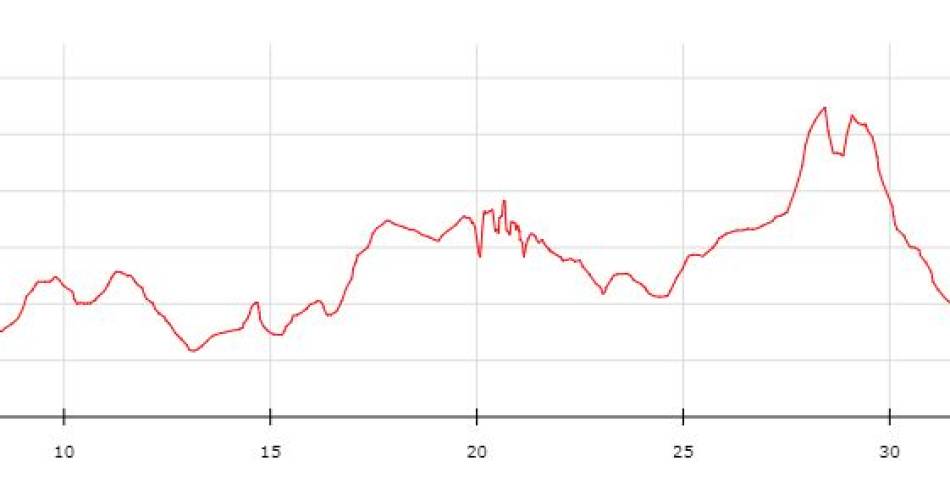
Distance
41.60km
Positive elevation
1103 meters
Negative elevation
1 meters
Altitude
Min. 36 meters
Max. 256 meters
- circuit
- variante
- voie verte
- liaison
The tourist service at Mornas :
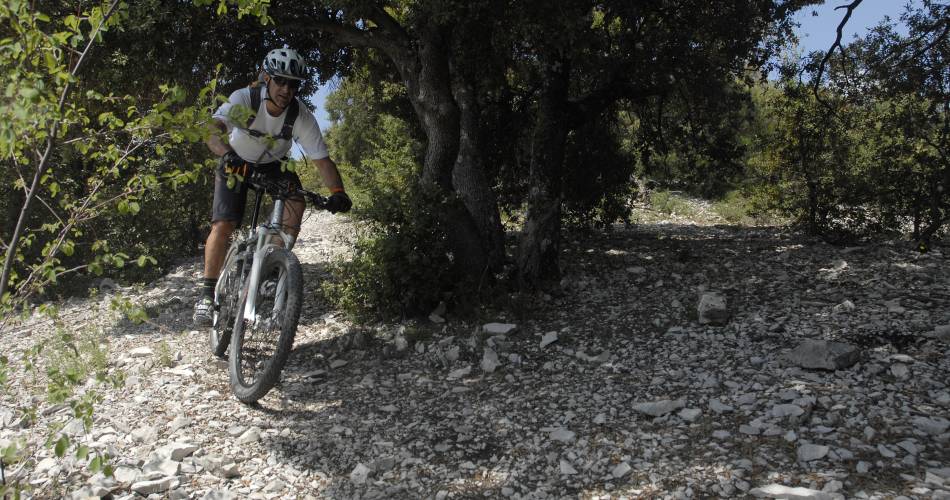
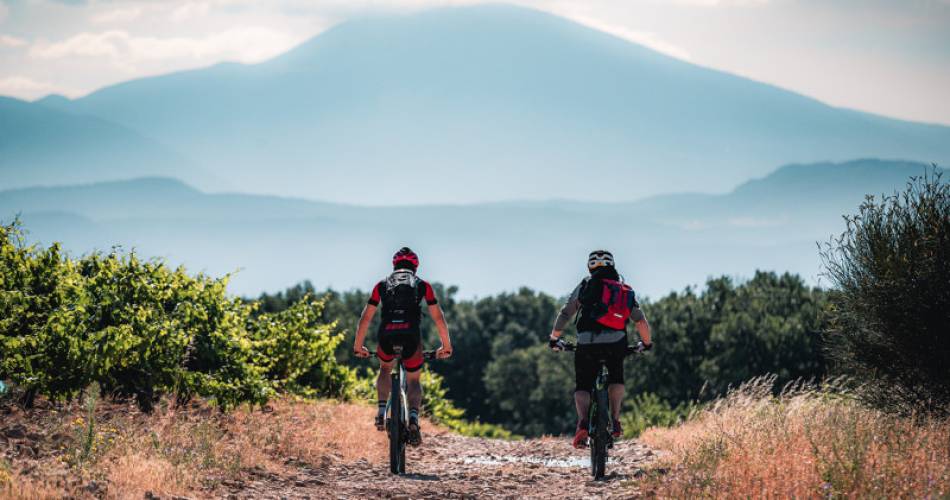
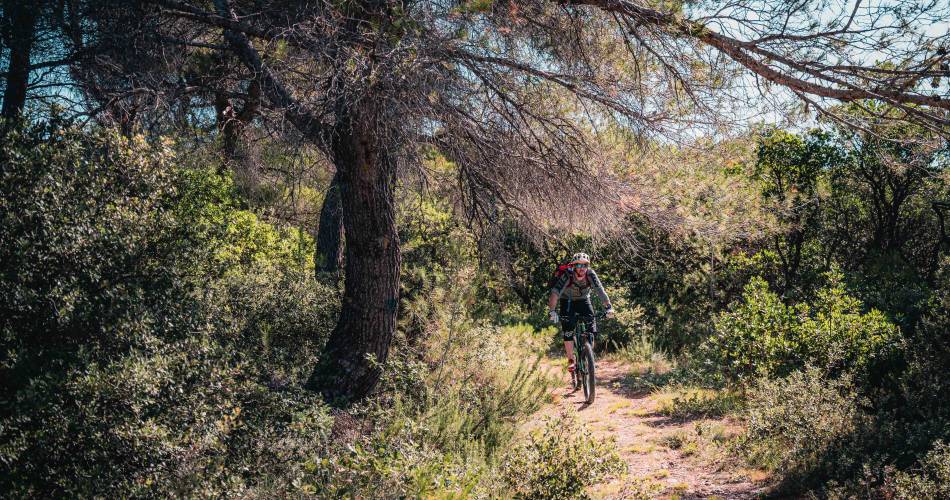
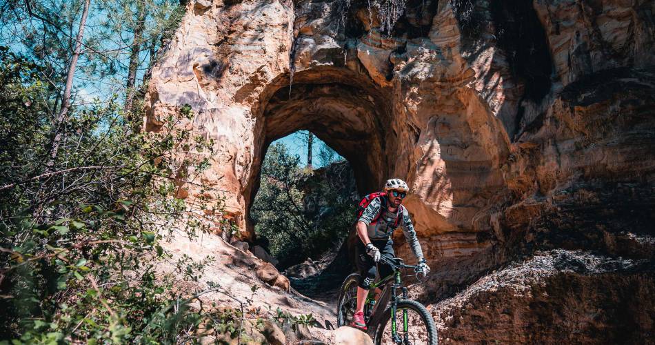
A new mountain bike trail in the heart of Provence and close to the Rhone, easy and accessible to all.
Departing from Mornas, this route boasts an exciting range of fun and unusual tracks. The trail affords myriad views and the paths have plenty of surprises in store. This little known area deserves a detour. The highlight is crossing the multiple ruins that testify to the range’s rich history with the impressive Fortress of Mornas as the icing on the cake.
Accéder à l'itinéraire
public transport
recommended
parking(s)
Side path of the N7
road access
A7 - exit 20 Piolenc.
To be noted
GPS is necessary as the path is unmarked.
Avoid the summer period, and check fire risks and the opening times of the massif. (By phone: 04 28 31 77 11)
Avoid the summer period, and check fire risks and the opening times of the massif. (By phone: 04 28 31 77 11)
 If you notice a problem on one of the Provence cycling routes report it with the Suricate app!: sentinelles.sportsdenature.fr
Access to the massifs
Respect the regulations preserving protected natural areas – find out about restrictions to accessing the massifs during fire risk periods, from 15 June to 15 September.
Before heading out, check the website
Respect the regulations preserving protected natural areas – find out about restrictions to accessing the massifs during fire risk periods, from 15 June to 15 September.
Before heading out, check the website
In short
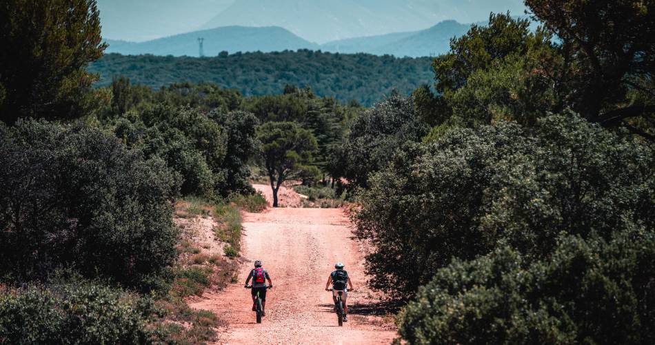
- A playground of red earth and pine and oak forests.
- Immersive views of the Mornas fortress, and the Castellas d'Uchaux.