
Vaucluse long distance mountain bike trail Section 1.1 Savoillans - St-Léger du Ventoux

Route
Difficulty
Duration
h
Distance
0.01km
Positive elevation
meters
Negative elevation
0 meters
Altitude
Min. meters
Max. meters
- circuit
- variante
- voie verte
- liaison
Departure / Arrival
/
Parking
The tourist service at Savoillans :
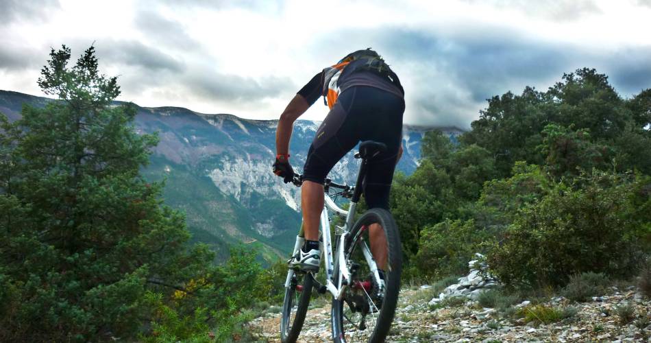
This is the starting point of the Vaucluse long distance mountain bike trail. In the car park you will find a sign with a map of the general route and practical information.
This introduction will take you straight to the heart of the matter: after a difficult climb on a steep path, and a few small jumps, you will be rewarded with a superb stretch on the ridge of the Rocher du Charles and breathtaking views of Mont Ventoux and its steep and secretive North face. After the picturesque village of Brantes, you will climb the Col de Fontaube (alt. 635m) and pass by some century old oaks. A technical descent on loose gravel which is typical of the region will bring you to Saint Léger du Ventoux and the Toulourenc valley.
Routes available on www.openrunner.com code 3435819
Routes available on www.openrunner.com code 3435819
To be noted
 If you notice a problem on one of the Provence cycling routes report it with the Suricate app!: sentinelles.sportsdenature.fr
Access to the massifs
Respect the regulations preserving protected natural areas – find out about restrictions to accessing the massifs during fire risk periods, from 15 June to 15 September.
Before heading out, check the website
Respect the regulations preserving protected natural areas – find out about restrictions to accessing the massifs during fire risk periods, from 15 June to 15 September.
Before heading out, check the website