
Bedoin, Sault, Aurel
Stage 3: Bédoin/Sault Vaucluse Mountain Bike Trail - e-bike

Route
Crossing
Difficulty
Intermediary
Duration
5h
Distance
54.45km
Positive elevation
1812 meters
Negative elevation
1 meters
Altitude
Min. 383 meters
Max. 1526 meters
- circuit
- variante
- voie verte
- liaison
The tourist service at Bédoin :
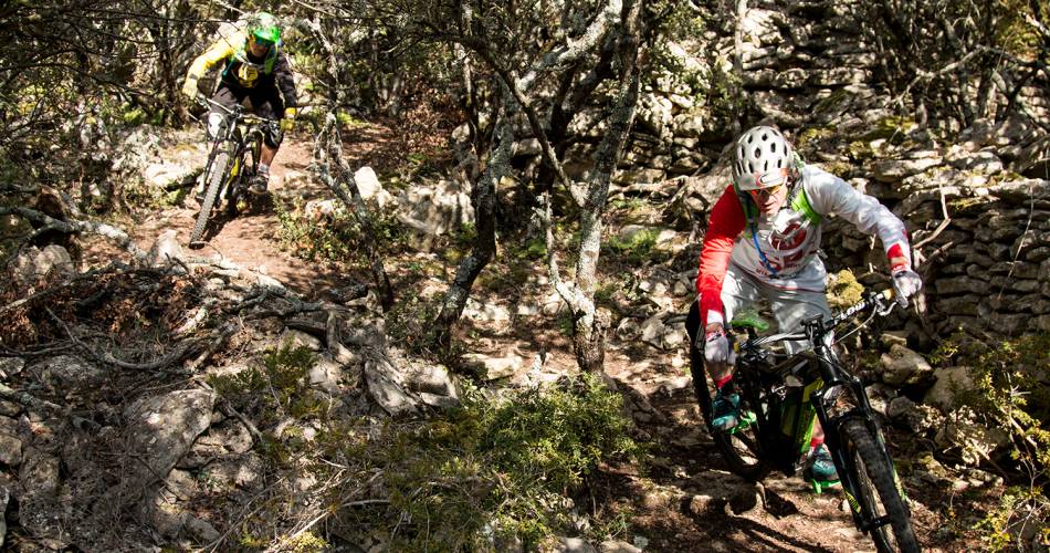
One of the most demanding stages. After the legendary ascent of Mont Ventoux from the Southern face to the summit, an easier descent begins to reach the Sault plateau and its lavender fields.
A 15-kilometre ascent with more than 1,000 metres of uneven and challenging terrain begins now! But the breath-taking panoramic view quickly makes you forget the difficulty. The rolling track leads you to the legendary Chalet Reynard south of Mont-Ventoux.
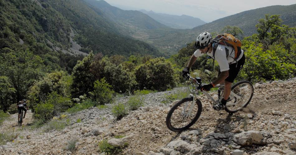
You now find yourself at the heart of the UNESCO-listed Biosphere Reserve and its alpine scenery. After another ascent, you will reach the crest of the east side of Mont Ventoux to begin your descent to Aurel.
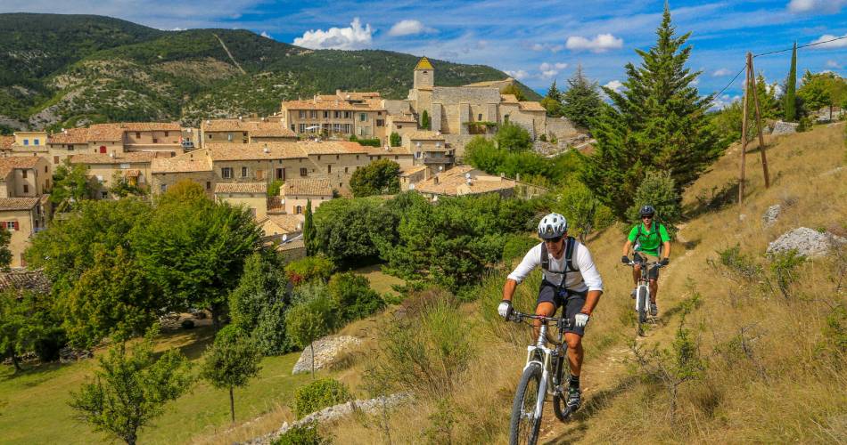
The route then climbs up to the Sault Plateau and its lavender fields, for a smooth finish.
You now find yourself at the heart of the UNESCO-listed Biosphere Reserve and its alpine scenery. After another ascent, you will reach the crest of the east side of Mont Ventoux to begin your descent to Aurel.
The route then climbs up to the Sault Plateau and its lavender fields, for a smooth finish.
Accéder à l'itinéraire
public transport
Line 12 of the Zou Bus network Carpentras - Sault
recommended
parking(s)
Domaine de Bélézy's Parking
To be noted
Follow the Grande traversée de Vaucluse markings.
Before departure, make sure to consult the Prevention of fire risks in Vaucluse website, to respect the massif closures. (T. +33 (0)4.28.31.77.11)
This itinerary is best suited to autumn and spring
 If you notice a problem on one of the Provence cycling routes report it with the Suricate app!: sentinelles.sportsdenature.fr
Access to the massifs
Respect the regulations preserving protected natural areas – find out about restrictions to accessing the massifs during fire risk periods, from 15 June to 15 September.
Before heading out, check the website
Respect the regulations preserving protected natural areas – find out about restrictions to accessing the massifs during fire risk periods, from 15 June to 15 September.
Before heading out, check the website
In short
- Dizzying ascent of 15 km and more than 1000 m D+
- Breath-taking views and rolling track between the lunar summit and the undergrowth.
- Attractive descent to Aurel, and discovery of lavender fields on the Sault Plateau.