
Section 2.1 Malaucène - Lafare / Vaucluse long distance mountain bike trail

Route
Difficulty
Duration
h
Distance
0.02km
Positive elevation
meters
Negative elevation
0 meters
Altitude
Min. meters
Max. meters
- circuit
- variante
- voie verte
- liaison
Departure / Arrival
/
Parking
The tourist service at Malaucène :
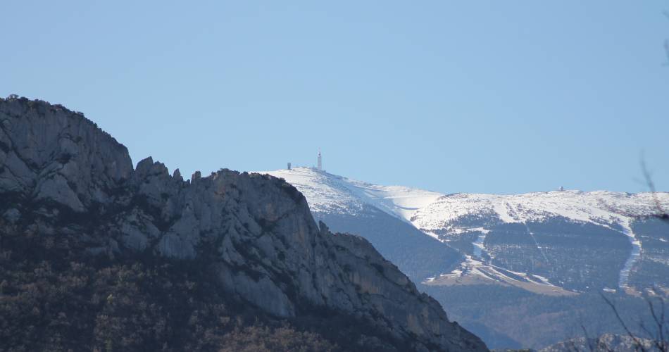
After Malaucène, a cycling town and the northern gateway to Mont Ventoux, you will head towards the Dentelles de Montmirail.
A long climb towards the circus and the ridge of Saint Amand (alt. 615m), brings you to wide open views of the famous limestone outcrops of the Dentelles de Montmirail. The rest of the route more or less descends all the way to Lafare via the village of Suzette, through a landscape of pine forests and vineyards.
Routes available on www.openrunner.com code 3435856
Routes available on www.openrunner.com code 3435856
To be noted
 If you notice a problem on one of the Provence cycling routes report it with the Suricate app!: sentinelles.sportsdenature.fr
Access to the massifs
Respect the regulations preserving protected natural areas – find out about restrictions to accessing the massifs during fire risk periods, from 15 June to 15 September.
Before heading out, check the website
Respect the regulations preserving protected natural areas – find out about restrictions to accessing the massifs during fire risk periods, from 15 June to 15 September.
Before heading out, check the website
In short