MTB trail n°1 - The big bike tour of the Petit Luberon - GPS

Route
Difficulty
Duration
540h
Distance
0.07km
Positive elevation
meters
Negative elevation
0 meters
Altitude
Min. meters
Max. meters
- circuit
- variante
- voie verte
- liaison
The tourist service at Maubec :
This long loop is the perfect chance to discover the Petit Luberon. GPS essential
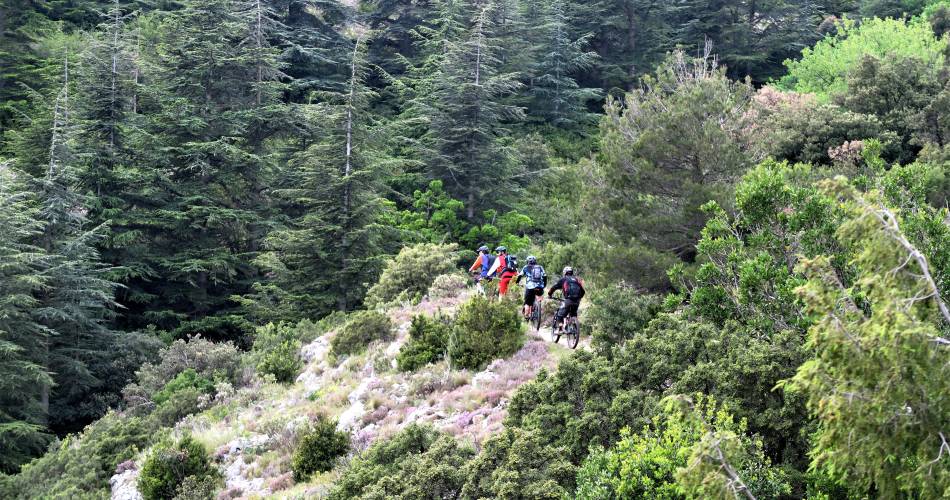
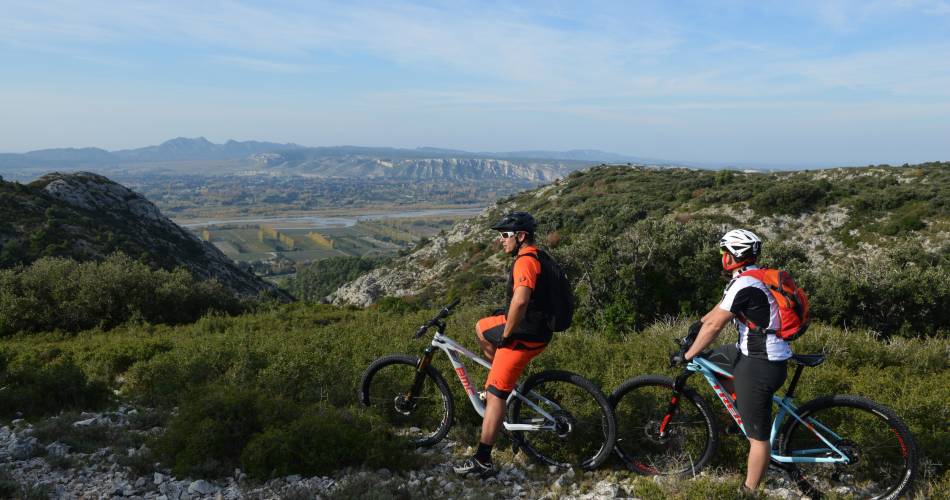
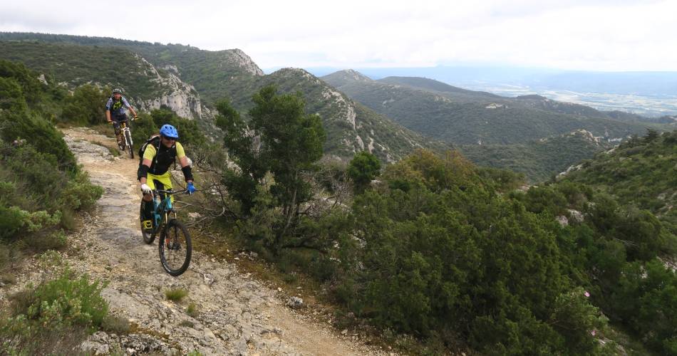
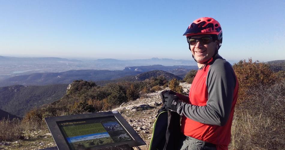
Starting in Maubec, this long loop is the perfect chance to discover the Petit Luberon. With a mix of tracks and paths, the itinerary offers a magnificent panoramic view over the Durance Valley, la Crau and les Alpilles. It will lead you to the heart of the well-known Cedar Forest and to the medieval villages at the foot of the hills.
To be noted
 If you notice a problem on one of the Provence cycling routes report it with the Suricate app!: sentinelles.sportsdenature.fr
Access to the massifs
Respect the regulations preserving protected natural areas – find out about restrictions to accessing the massifs during fire risk periods, from 15 June to 15 September.
Before heading out, check the website
Respect the regulations preserving protected natural areas – find out about restrictions to accessing the massifs during fire risk periods, from 15 June to 15 September.
Before heading out, check the website
In short
Contact
Parc naturel régional du LuberonE-Mail : info@veloloisirprovence.com
Website : https://www.visugpx.com/XqWCIjrRCN
Facebook : https://www.facebook.com/Parc-naturel-r%C3%A9gional-du-Luberon-343504089119384/?fref=ts
