
Apt, Gargas
MTB no.63 - Apt_Gargas connection

Route
Round trip
Difficulty
Very easy
Duration
0h30
Distance
4.52km
Positive elevation
73 meters
Negative elevation
27 meters
Altitude
Min. 212 meters
Max. 276 meters
- circuit
- variante
- voie verte
- liaison
Departure / Arrival
Office de tourisme d'Apt/Poste de Gargas / Gargas / Apt
Parking
Gargas / Apt
Elevation
GPX track
The tourist service at Apt :
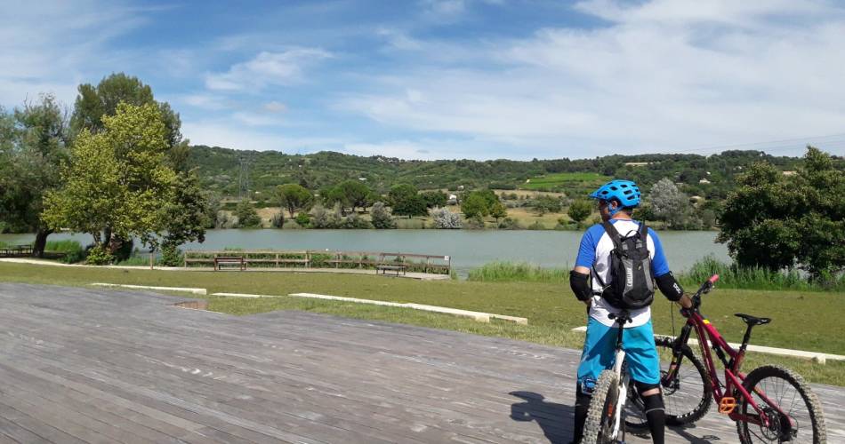
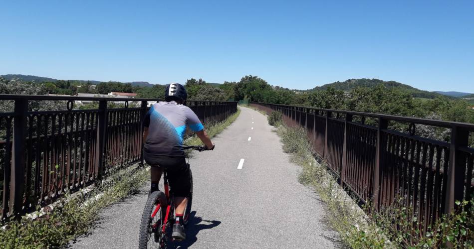
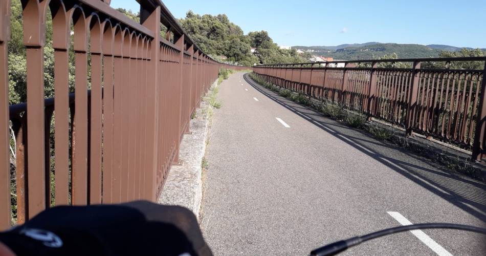
Connecting route that links the town of Apt and the village of Gargas, or vice versa (marked in both directions), passing by the Riaille artificial lake and the Calavon Velloroute (EV8).
The route can conveniently be combined with two circuits located on both sides of the river Calavon, the city and the Pays d'Apt Luberon tourist office.
Accéder à l'itinéraire
recommended
parking(s)
Post Office Car Park in Apt or Rue henri Bosco in Gargas
To be noted
 If you notice a problem on one of the Provence cycling routes report it with the Suricate app!: sentinelles.sportsdenature.fr
Access to the massifs
Respect the regulations preserving protected natural areas – find out about restrictions to accessing the massifs during fire risk periods, from 15 June to 15 September.
Before heading out, check the website
Respect the regulations preserving protected natural areas – find out about restrictions to accessing the massifs during fire risk periods, from 15 June to 15 September.
Before heading out, check the website
In short
Contact
Parc naturel régional du LuberonE-Mail : info@veloloisirprovence.com
Website : https://www.visugpx.com/AKi04Y4azc
Facebook : https://www.facebook.com/groups/931761307346545