
Joucas, Murs, Gordes, Venasque
MTB no.50 - Col de Murs
50
Route
Loop
Difficulty
Difficult
Duration
4h
Distance
32.39km
Positive elevation
937 meters
Negative elevation
933 meters
Altitude
Min. 203 meters
Max. 698 meters
- circuit
- variante
- voie verte
- liaison
Departure / Arrival
Parking au pied du village - Joucas / Parkeerplaats aan de voet van het dorp - Joucas
Parking
Parkeerplaats aan de voet van het dorp - Joucas
Elevation
GPX track
The tourist service at Joucas :
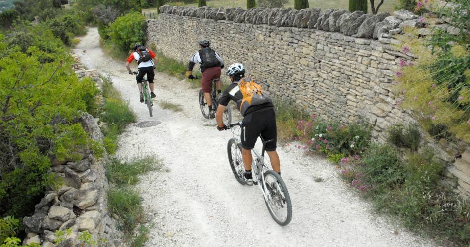
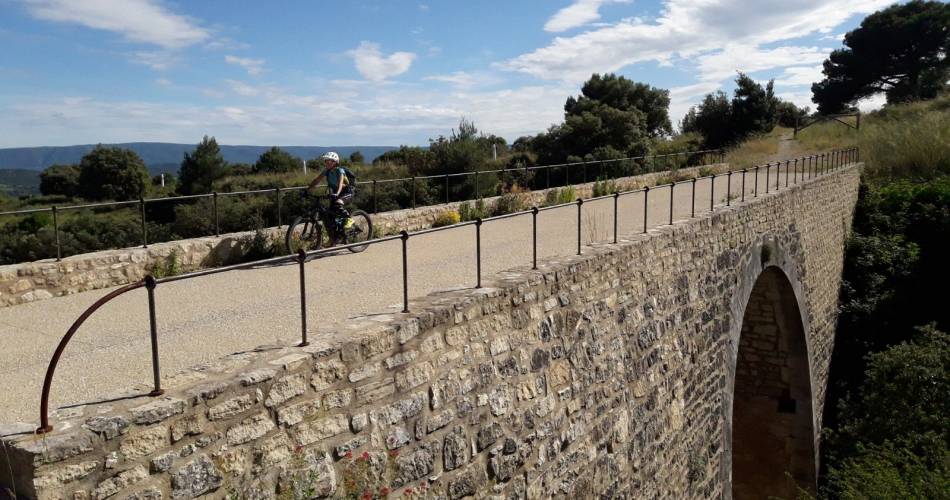
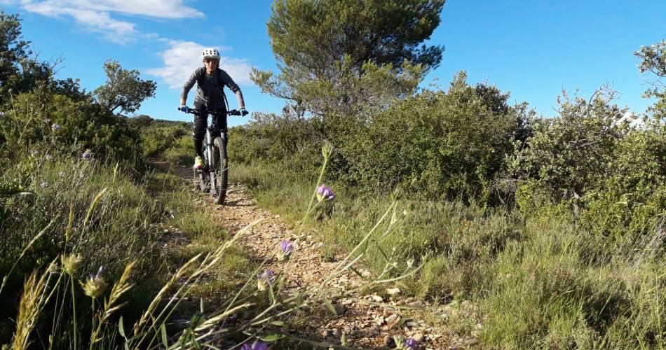
This beautiful rolling path is not too technically difficult, but the elevation gain and stony paths and tracks make the journey rather physically demanding.
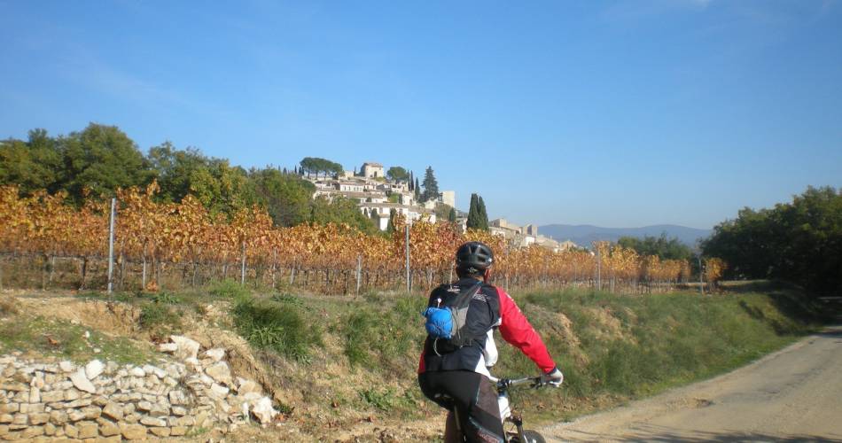
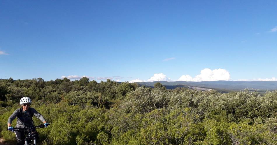
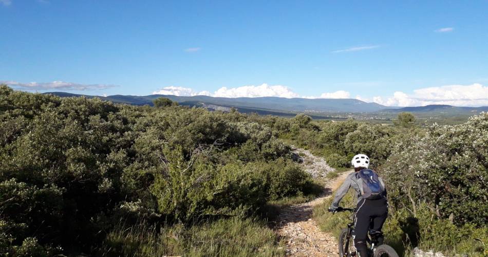
But what a joy it is to journey through the woodland after departing from the splendid village of Joucas, to climb up to the Plateau de Murs and enjoy the panoramic views over the peaks of the Monts-de-Vaucluse.
The return across Gordes and the right edge of the Véroncle gorges is a little more technically demanding. And then comes the finale: after an ascent of the Bois d'Audibert comes a very rocky section of the trail that requires maximum levels of concentration!
The return across Gordes and the right edge of the Véroncle gorges is a little more technically demanding. And then comes the finale: after an ascent of the Bois d'Audibert comes a very rocky section of the trail that requires maximum levels of concentration!
To be noted
 If you notice a problem on one of the Provence cycling routes report it with the Suricate app!: sentinelles.sportsdenature.fr
Access to the massifs
Respect the regulations preserving protected natural areas – find out about restrictions to accessing the massifs during fire risk periods, from 15 June to 15 September.
Before heading out, check the website
Respect the regulations preserving protected natural areas – find out about restrictions to accessing the massifs during fire risk periods, from 15 June to 15 September.
Before heading out, check the website
In short
Contact
Parc naturel régional du LuberonE-Mail : info@veloloisirprovence.com
Website : https://www.visugpx.com/WwRcDXbYal
Facebook : https://www.facebook.com/groups/931761307346545