
Saignon, Caseneuve, Saint-Martin-De-Castillon, Viens
MTB N° 57 - The plateau of Caseneuve
57
Route
Loop
Difficulty
Difficult
Duration
3h
Distance
26.48km
Positive elevation
740 meters
Negative elevation
741 meters
Altitude
Min. 249 meters
Max. 572 meters
- circuit
- variante
- voie verte
- liaison
Departure / Arrival
Parking du Fangas - Saignon / Fangas Parking - Saignon
Parking
Fangas Parking - Saignon
Elevation
GPX track
The tourist service at Saignon :
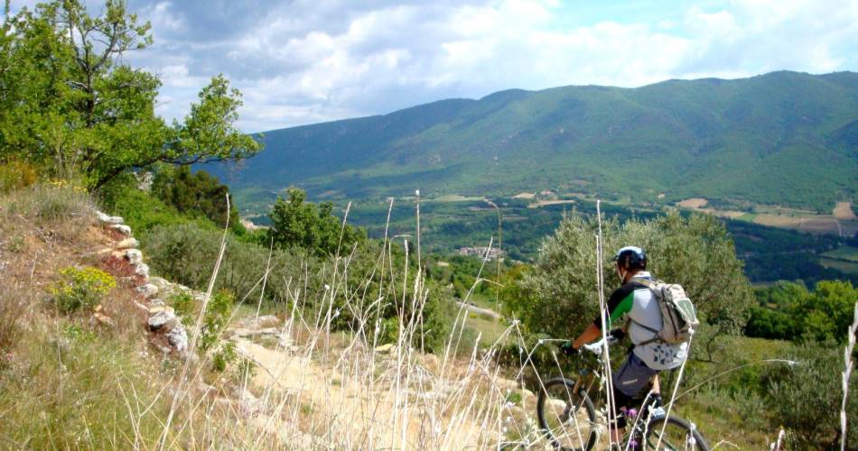
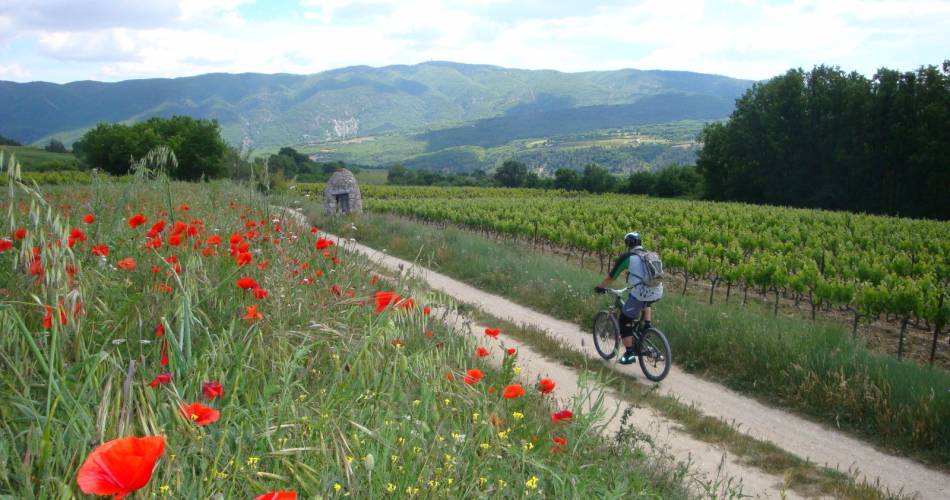
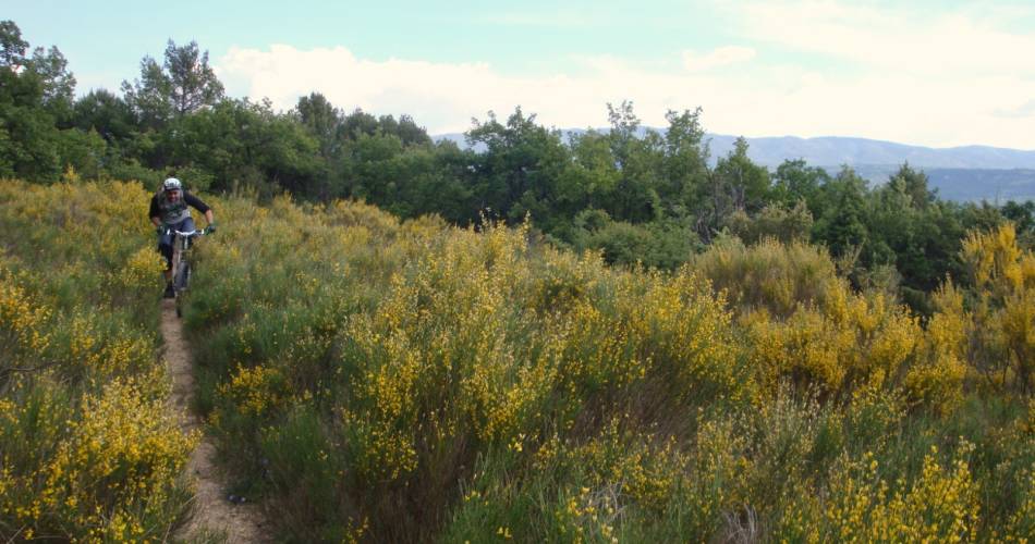
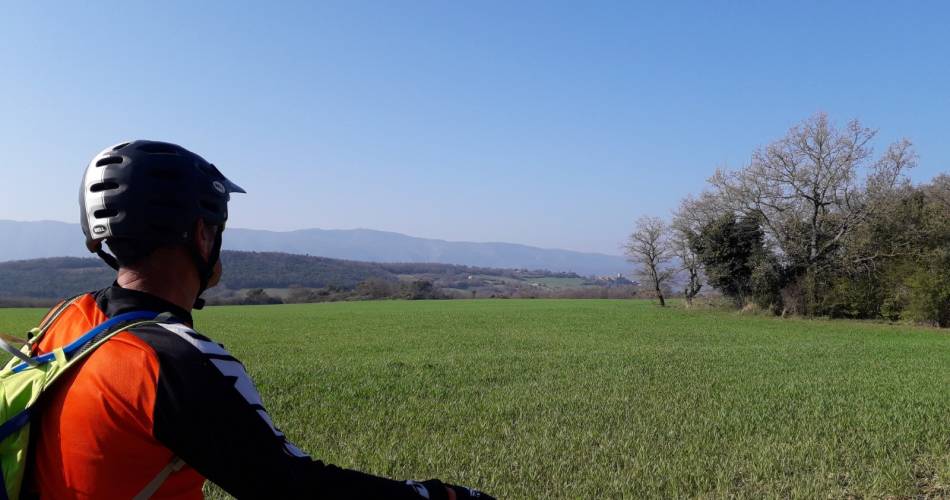
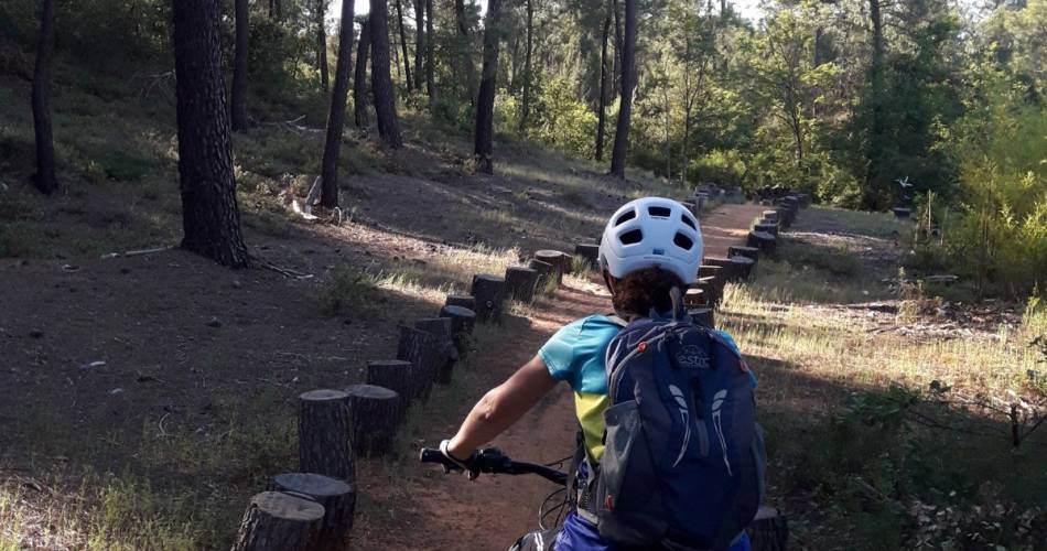
A relatively easy mountain bike trail that connects two beautiful hilltop villages in the Luberon.
On the way, take in superb views of the Grand Luberon and Monts-de-Vaucluse mountains, picture-postcard houses and hamlets, dry-stone huts (known locally as bories), terraces and walls, and fields of lavender, Adonis and cornflowers, arable plants known as ‘harvest companions’ that thrive in the Luberon!
Important:
• Beware the livestock guardian dogs in the vicinity of local farms.
• Watch your speed on the descent – you might not be the only one on the trail!.
Important:
• Beware the livestock guardian dogs in the vicinity of local farms.
• Watch your speed on the descent – you might not be the only one on the trail!.
Accéder à l'itinéraire
public transport
recommended
parking(s)
Fangas Parking - Saignon
To be noted
Caution:
• Beware of the livestock guardian dogs near the farms.
•Control your downhill speed; you are not alone on these paths!
 If you notice a problem on one of the Provence cycling routes report it with the Suricate app!: sentinelles.sportsdenature.fr
Access to the massifs
Respect the regulations preserving protected natural areas – find out about restrictions to accessing the massifs during fire risk periods, from 15 June to 15 September.
Before heading out, check the website
Respect the regulations preserving protected natural areas – find out about restrictions to accessing the massifs during fire risk periods, from 15 June to 15 September.
Before heading out, check the website
In short
- 2 beautiful hilltop in the LuberonSuperb views of the Grand Luberon and the Monts de Vaucluse
- Rural and Provençal path between dry stone calade, hamlets of bories, lavender, and blueberries...
Contact
Parc naturel régional du LuberonE-Mail : info@veloloisirprovence.com
Website : https://www.visugpx.com/5hjty0FZ7d
Facebook : https://www.facebook.com/groups/931761307346545