
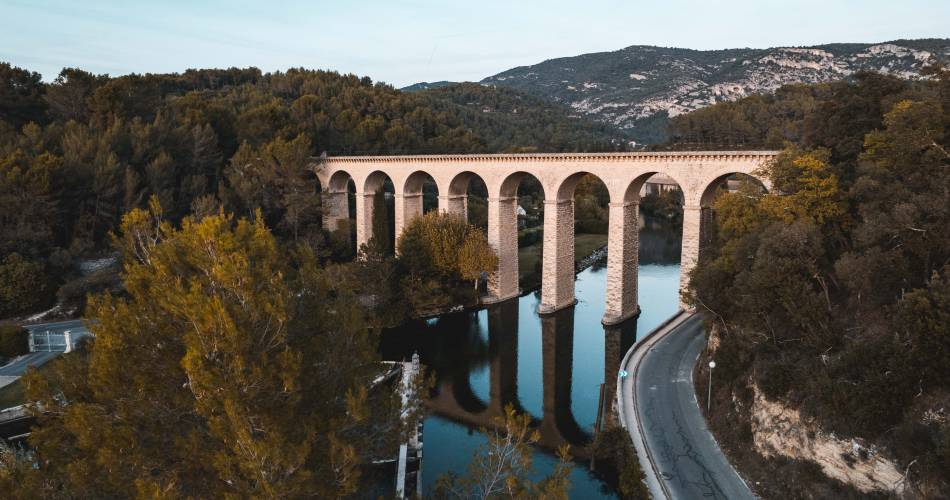
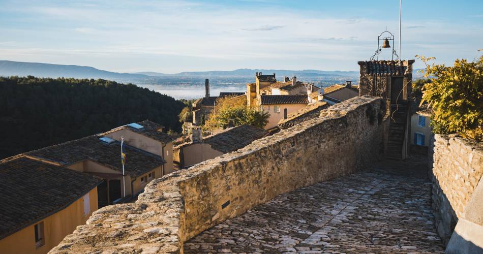
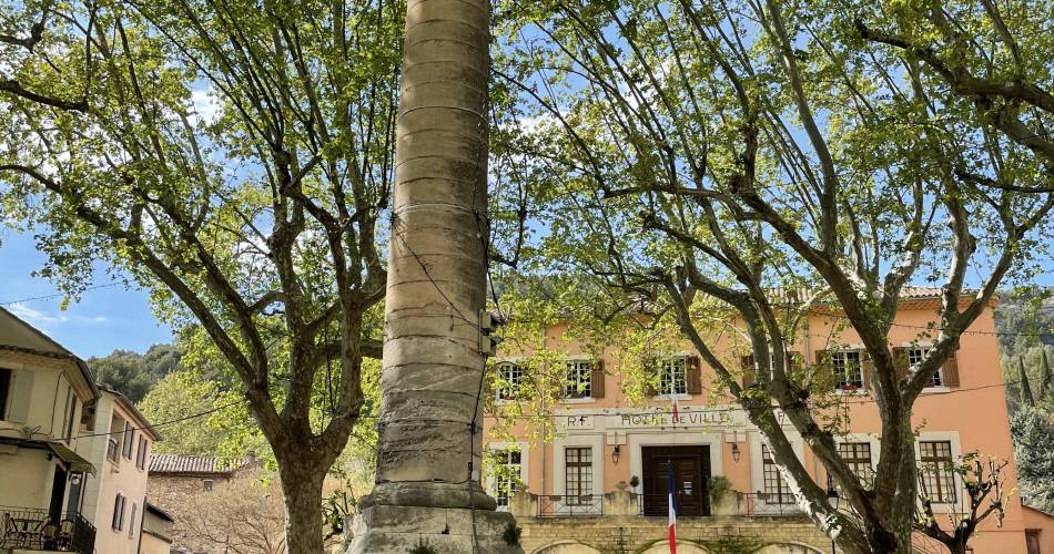
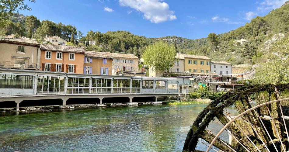
L'isle-Sur-La-Sorgue, Saumane-De-Vaucluse, Fontaine-De-Vaucluse, Lagnes
From the Source to the Comtadine Venice
10
Route
Loop
Difficulty
Easy
Duration
2h
Distance
24.53km
Positive elevation
247 meters
Negative elevation
247 meters
Altitude
Min. 57 meters
Max. 231 meters
- circuit
- variante
- voie verte
- liaison
Departure / Arrival
Parking du Portalet, Isle-sur-la-Sorgue / Parking du Portalet, Isle-sur-la-Sorgue
Parking
Parking du Portalet, Isle-sur-la-Sorgue
Elevation
Downloads
GPX de la source à la venice comtadine
trace GPX de la Source à la venise comtadine
GPX track
The tourist service at L'Isle-sur-la-Sorgue :
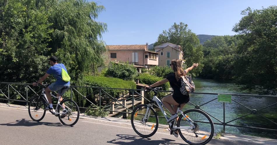
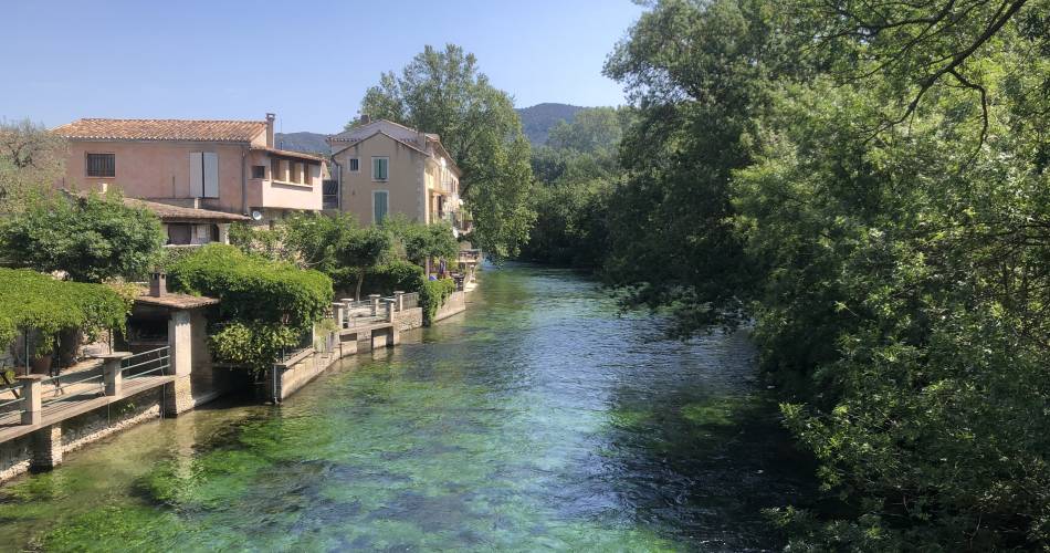
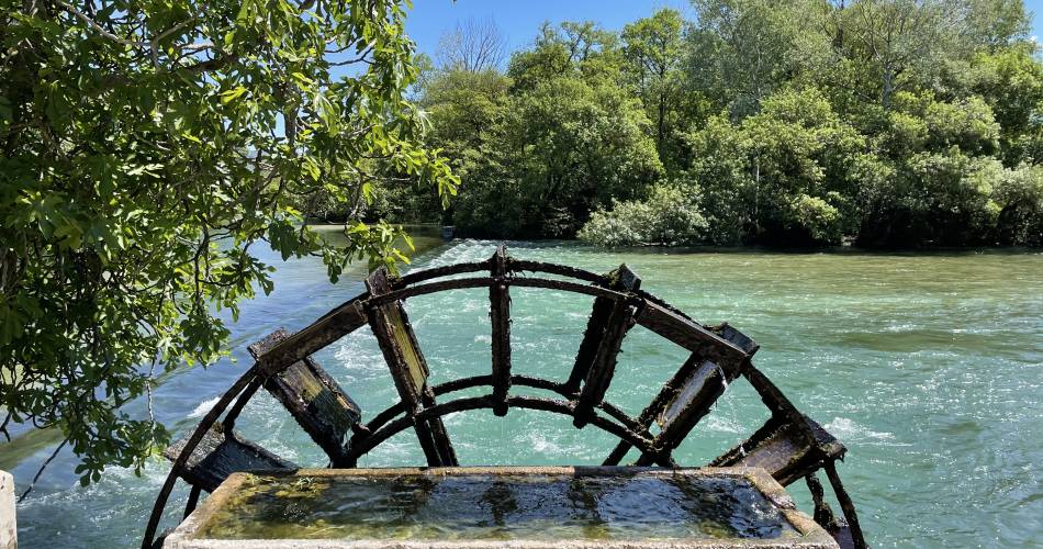
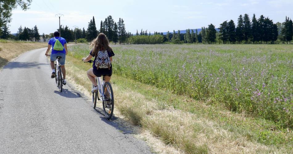
The great sites of the Sorgue await you on this bike ride.
You will have lots of time to admire the gouffre (underwater caves), the Partage des Eaux (where the river splits) and the river Sorgue. Your gentle winding ride over the plain will also take you through the orchards.
Itinerary created by the CCPSMV www.velo-provence.com
Itinerary created by the CCPSMV www.velo-provence.com
Accéder à l'itinéraire
public transport
By train via Isle-sur-la-Sorgue station
recommended
parking(s)
Station Car Park
road access
Via the D901 to l'Isle-sur-la-Sorgue, then the Julien Guigue avenue
To be noted
 If you notice a problem on one of the Provence cycling routes report it with the Suricate app!: sentinelles.sportsdenature.fr
Access to the massifs
Respect the regulations preserving protected natural areas – find out about restrictions to accessing the massifs during fire risk periods, from 15 June to 15 September.
Before heading out, check the website
Respect the regulations preserving protected natural areas – find out about restrictions to accessing the massifs during fire risk periods, from 15 June to 15 September.
Before heading out, check the website
In short
- Sharing of Waters at Isle-sur-la-Sorgue
- Fontaine-de-Vaucluse chasm
- Sorgue Canals