
Le Thor, L'isle-Sur-La-Sorgue
35 - Glide alongside the banks of Sorgue
36
Route
Loop
Difficulty
Easy
Duration
2h12
Distance
23.98km
Positive elevation
39 meters
Negative elevation
39 meters
Altitude
Min. 50 meters
Max. 69 meters
- circuit
- variante
- voie verte
- liaison
Departure / Arrival
Office du Tourisme , Le Thor / Office du Tourisme , Le Thor
Parking
Office du Tourisme , Le Thor
Elevation
The tourist service at Le Thor :
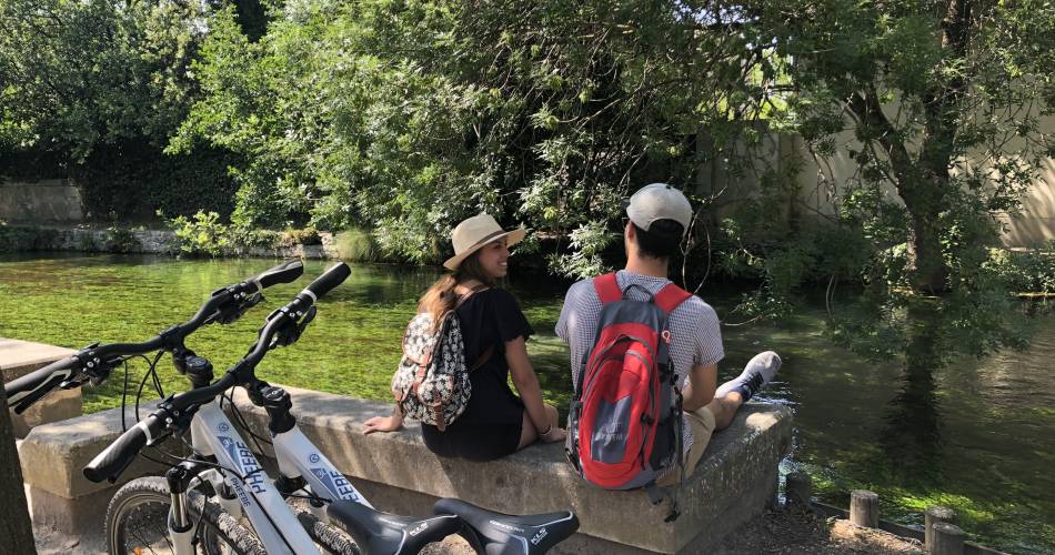
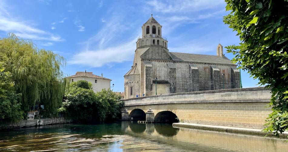
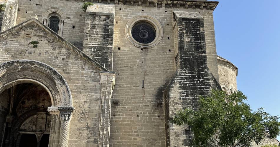
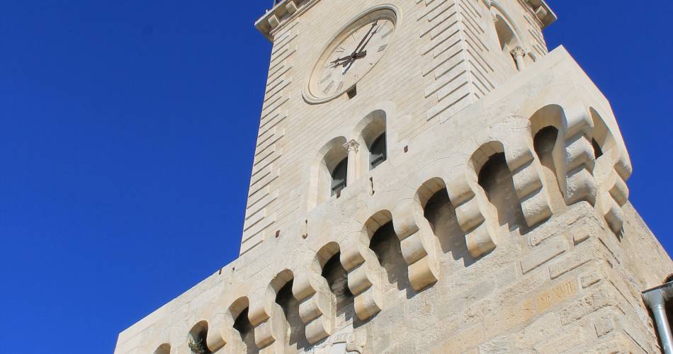
This shady bike route takes you between L'Isle sur la Sorgue and le Thor.
A peaceful ride through quiet farmland to discover the many irrigation canals on our plain.
Created by CCPSMV www.velo-provence.com
Created by CCPSMV www.velo-provence.com
Accéder à l'itinéraire
public transport
By train to Le Thor station
road access
Via the D901 from Isle-sur-la-SorgueVia the D16 from Cavaillon
To be noted
 If you notice a problem on one of the Provence cycling routes report it with the Suricate app!: sentinelles.sportsdenature.fr
Access to the massifs
Respect the regulations preserving protected natural areas – find out about restrictions to accessing the massifs during fire risk periods, from 15 June to 15 September.
Before heading out, check the website
Respect the regulations preserving protected natural areas – find out about restrictions to accessing the massifs during fire risk periods, from 15 June to 15 September.
Before heading out, check the website
In short
Contact
Isle sur la Sorgue TourismeWebsite : https://www.provence-a-velo.fr/equipements/chateauneuf-du-pape-orange/circuit-velo---balade-sur-les-rives-de-la-sorgue/provence-4610937-1.html