
Orange, Caderousse, Chateauneuf-Du-Pape, Sorgues, Bedarrides, Courthezon, Jonquieres, Sarrians, Loriol-Du-Comtat, Aubignan, Beaumes-De-Venise, Vacqueyras, Gigondas, Sablet, Seguret, Vaison-La-Romaine, Crestet, Entrechaux, Faucon, Puymeras, Piegon, Mirabel-Aux-Baronnies, Vinsobres, Valreas, Grillon, Colonzelle, Richerenches, Visan, Tulette, Bouchet, Suze-La-Rousse, Bollene, Mondragon, Mornas, Uchaux, Piolenc
Touring the Côtes du Rhône by bike
Route
Loop
Difficulty
Intermediary
Duration
48h
Distance
192.19km
Positive elevation
1970 meters
Negative elevation
1 meters
Altitude
Min. 22 meters
Max. 419 meters
- circuit
- variante
- voie verte
- liaison
Departure / Arrival
Orange / Orange
Parking
Orange
Elevation
Downloads
Carte - Le Tour des Côtes du Rhône à vélo
RoadBook Tour des Côtes du Rhône à vélo
GPX track
The tourist service at Orange :
Distance: 120 to 242 km (with variants)Duration: 2 to 7 days - stages of 15 to 45 km per day
Signposted one-way. Zone without signposting requires a logbook (available for download on www.provence-a-velo.fr).
Positive altitude change: + 1,840 m
Level: difficult
Services pour cyclistes
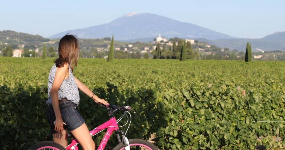
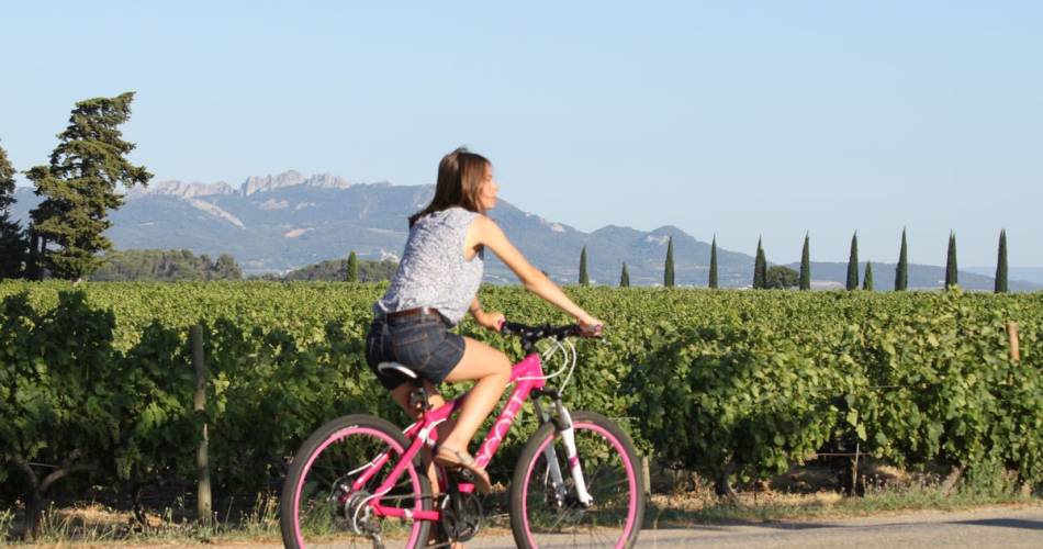
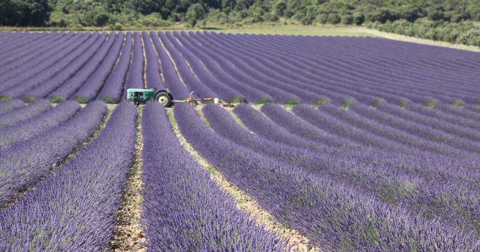
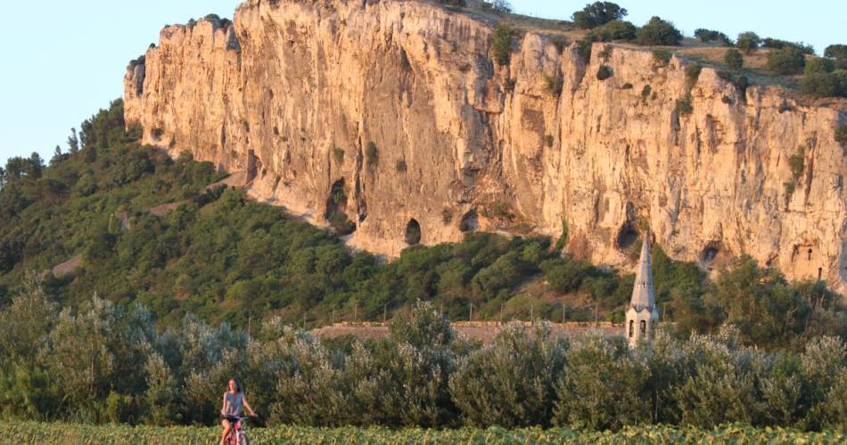
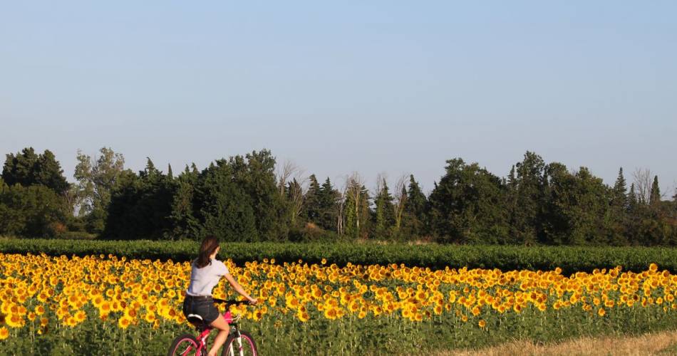
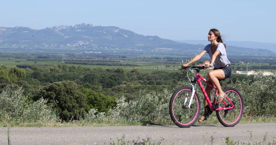
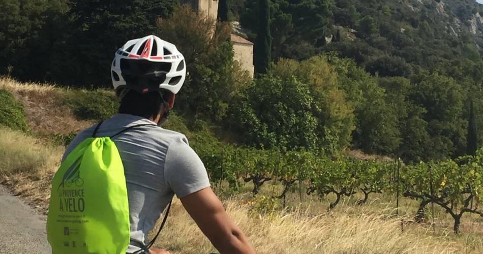
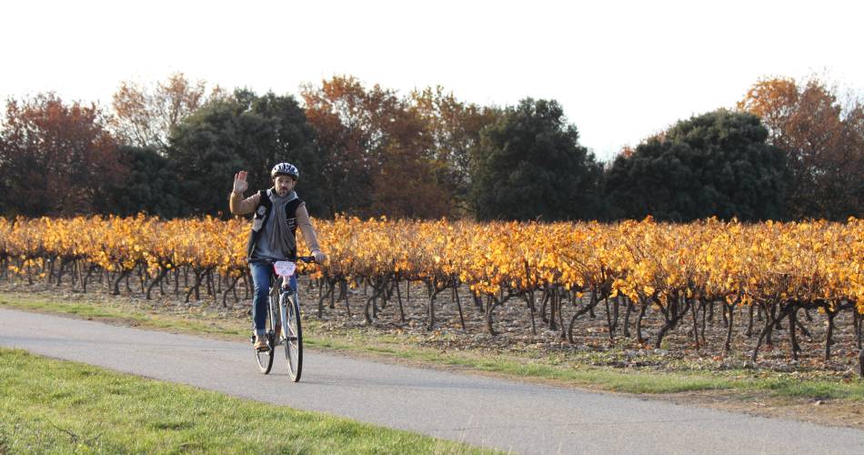
Touring the Southern Côtes du Rhône Vineyards, starting from the Via Rhôna or the Via Venaissia greenways, is a great sensorial experience of the vineyards, revealing their life along the seasons.Leaving the Rhône river, you will discover the fantastic Roman heritage of Orange and Vaison la Romaine, the Dentelles de Montmirail rugged landscapes, the Massif d'Uchaux woodlands and the northern foothills of the Mont Ventoux. Outdoor enthusiasts and wine lovers will enjoy cycling through such iconic winegrower’s villages as Châteauneuf du Pape, Beaumes de Venise, Vacqueyras, Gigondas, Cairanne, Rasteau, Vinsobres, Suze la Rousse…. A bit further, from Vaison la Romaine to Valréas and Bollène, the vineyards stretch next to lavander fields, olive groves and truffle oaks.
Accéder à l'itinéraire
public transport
To be noted
Autumn is particularly beautiful!
 If you notice a problem on one of the Provence cycling routes report it with the Suricate app!: sentinelles.sportsdenature.fr
Respect the regulations preserving protected natural areas – find out about restrictions to accessing the massifs during fire risk periods, from 15 June to 15 September.
Before heading out, check the website
In short