
Bedoin, Sault, Aurel
MTB n°3 - Chalet Reynard
3
Route
Loop
Difficulty
Difficult
Duration
1h30
Distance
12.99km
Positive elevation
445 meters
Negative elevation
445 meters
Altitude
Min. 1165 meters
Max. 1539 meters
- circuit
- variante
- voie verte
- liaison
Departure / Arrival
Bédoin / Bédoin
Parking
Bédoin
Elevation
Downloads
GPX track
The tourist service at Bédoin :
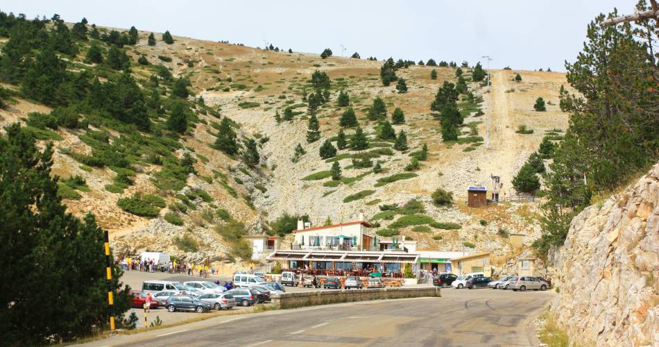
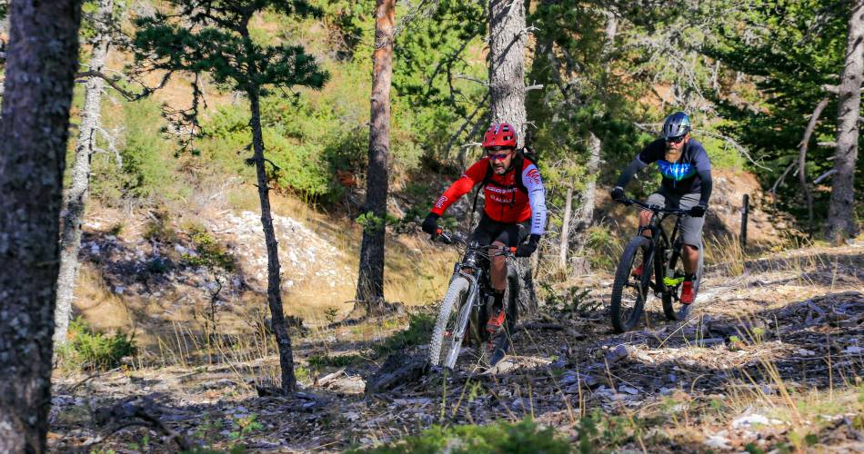
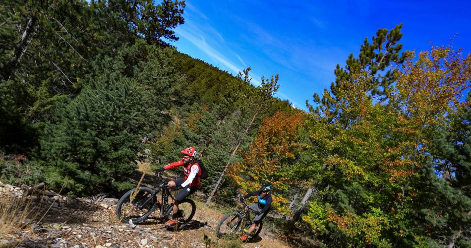
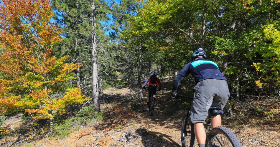
A fun trail for sports lovers who want to discover Chalet Reynard and the Ventoux Forestrecommended
parking(s)
Chalet Reynard
To be noted
- During hunting season, wear brightly coloured clothing, make yourself known and respect the signage put in place by the hunting party.
- If you come across a herd of animals, go around rather than through it and respect safety regulations concerning livestock guard dogs
 If you notice a problem on one of the Provence cycling routes report it with the Suricate app!: sentinelles.sportsdenature.fr
Access to the massifs
Respect the regulations preserving protected natural areas – find out about restrictions to accessing the massifs during fire risk periods, from 15 June to 15 September.
Before heading out, check the website
Respect the regulations preserving protected natural areas – find out about restrictions to accessing the massifs during fire risk periods, from 15 June to 15 September.
Before heading out, check the website
In short
- Discovery of the Chalet Reynard site and the Ventoux forest
- Refreshing stop at Font d'Angiou
Downloads
Contact
Parc Naturel Régional du Mont-VentouxE-Mail : contact@parcduventoux.fr
Website : https://www.ventouxprovence.fr