
La Motte-D'aigues, Cabrieres-D'aigues
MTB trail no. 31 - From La Bonde lake to Sentier Géole
31
Route
Loop
Difficulty
Easy
Duration
2h
Distance
18.03km
Positive elevation
408 meters
Negative elevation
408 meters
Altitude
Min. 328 meters
Max. 637 meters
- circuit
- variante
- voie verte
- liaison
Departure / Arrival
Etang de la Bonde - La Motte d'Aigues / Etang de la Bonde - La Motte d'Aigues
Parking
Etang de la Bonde - La Motte d'Aigues
Elevation
GPX track
The tourist service at La Motte-d'Aigues :
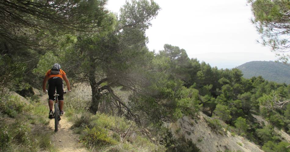
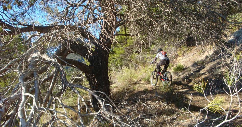
While the first leg starting from La Bonde lake is relatively easy as far as Cabrières d'Aigues, the ascent up the southern side of the Grand Luberon is physically more strenuous.
But you’re rewarded with a journey through several million years of geological history, a chance to better understand the landscape and geometry of the Luberon... before hurtling down (carefully!) the final almost 7-km stretch.
Accéder à l'itinéraire
public transport
recommended
parking(s)
Parking at the Bonde pool
To be noted
Be careful during the descent.
 If you notice a problem on one of the Provence cycling routes report it with the Suricate app!: sentinelles.sportsdenature.fr
Access to the massifs
Respect the regulations preserving protected natural areas – find out about restrictions to accessing the massifs during fire risk periods, from 15 June to 15 September.
Before heading out, check the website
Respect the regulations preserving protected natural areas – find out about restrictions to accessing the massifs during fire risk periods, from 15 June to 15 September.
Before heading out, check the website
In short
- Nice ascent and descent with a total length of about 7 km.
- A fascinating discovery of the geology of the Luberon massif through the "jail" trail.
Contact
Parc naturel régional du LuberonE-Mail : accueil@parcduluberon.fr
Website : https://www.parcduluberon.fr/
Facebook : https://www.facebook.com/groups/931761307346545