
Valreas, Visan
15 Vines and Panoramic views

Route
Loop
Difficulty
Difficult
Duration
3h
Distance
26.26km
Positive elevation
574 meters
Negative elevation
574 meters
Altitude
Min. 235 meters
Max. 428 meters
- circuit
- variante
- voie verte
- liaison
Departure / Arrival
Valréas / Valreas
Parking
Valreas
Elevation
Downloads
GPX track
The tourist service at Valréas :
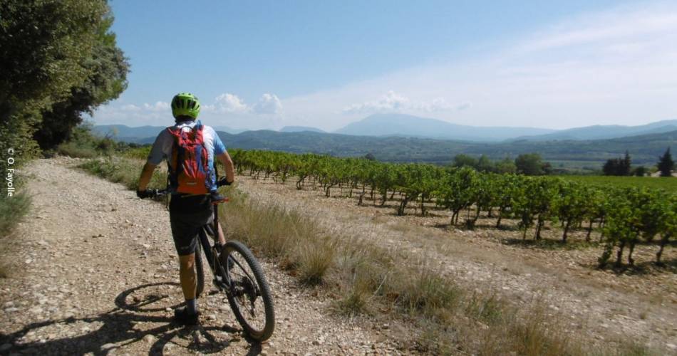
Starting from Valréas, there are a series of climbs to reach a vine-covered plateau. Panoramic views are guaranteed all along the route! A few fun single-track sections will enliven this trail through the midst of local vegetation.Accéder à l'itinéraire
public transport
recommended
parking(s)
In front of the cemetery
road access
Head in the direction of Valreas from Orange & Montelimar
To be noted
Best seasons for the route : spring and autumn.
Narrow passages on waypoints N°1, 5 et 9
Narrow passages on waypoints N°1, 5 et 9
 If you notice a problem on one of the Provence cycling routes report it with the Suricate app!: sentinelles.sportsdenature.fr
Access to the massifs
Respect the regulations preserving protected natural areas – find out about restrictions to accessing the massifs during fire risk periods, from 15 June to 15 September.
Before heading out, check the website
Respect the regulations preserving protected natural areas – find out about restrictions to accessing the massifs during fire risk periods, from 15 June to 15 September.
Before heading out, check the website
In short
Downloads
Contact
Office de Tourisme Pays de Grignan - Enclave des PapesE-Mail : info@grignanvalreas-tourisme.com
Website : http://www.grignanvalreas-tourisme.com
Facebook : https://www.facebook.com/apn.paysdegrignanenclavedespapes